Castner Scrapbook v.12, Streets 1, page 80
Historical Images of Philadelphia Castner Scrapbook Collection
Item Info
Item No: pdcc02808
Title: Castner Scrapbook v.12, Streets 1, page 80
Historic Street Address:
Ridge Avenue & West Schoolhouse Lane
Media Type: Scrapbooks
Source: Print and Picture Collection
Notes:
Item pdcc01307, full page [image dimensions 17.5 cm x 22.7 cm]:
Depicts a rural landscape with a hay cart on a country road which winds around a wooden building with a backdrop of hills and tall trees. Also shows a man on horseback, two women strolling together and a woman and child. On the extreme right is a partial view of a hill fortification - Fort Dana - built during the Civil War to help protect the city against Confederate attacks.
Inscribed on lower left margin: On Ridge Road & School Lane, Philad. On the lower right is inscribed: Hill fortified 1863-64.
Geocode Latitude: Geocode Longitude:-75.201398
Geocode Latitude:40.012192
Call Number: A917.481 P536 v.12
Creator Name: Castner, Samuel, Jr., 1843-1929 - Compiler
 11
11  1B
1B  1
1  1
1 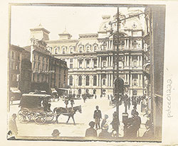 1
1  2
2  2
2  1B
1B 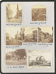 inside front cover
 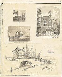 1B
1B  1B
1B  1C
1C 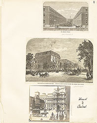 1
1  2
2  2
2  3
3  3
3  6
6  7
7  7
7  7
7  8
8  8
8  4
4 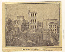 4
4  9
9  9
9  9
9 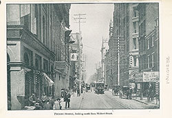 10
10  10
10 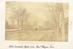 13
13  14
14  15
15  15
15  16
16  16
16 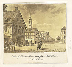 16
16  17
17  13
13  3
3 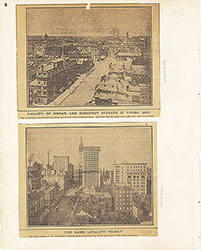 4
4 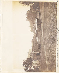 5
5  6
6  7
7 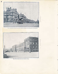 8
8  9
9  10
10  11
11  12
12 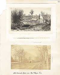 13
13  14
14  15
15  16
16  17
17 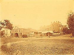 5
5  17
17  17
17  18
18  18
18  18
18  20
20 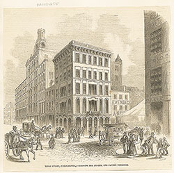 22
22 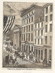 23
23  24
24  24
24 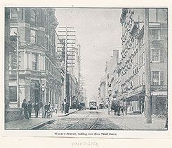 24
24  20
20  20
20  19
19 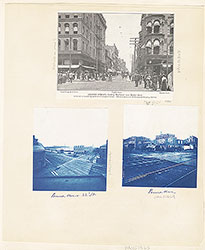 17
17  17
17  17
17  18
18 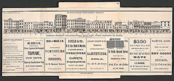 19
19 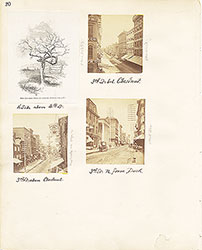 20
20 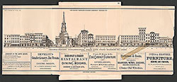 21
21 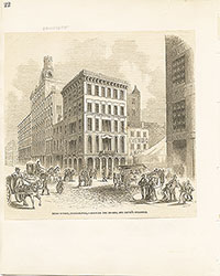 22
22 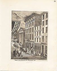 23
23  24
24  28
28  28
28  30
30  32
32  32
32  26
26 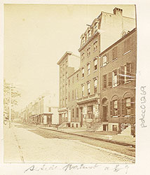 26
26  26
26  37
37  28
28  33
33 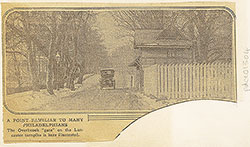 36
36  27
27  29
29  31
31  32
32  32
32  36
36 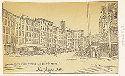 36
36  25
25  26
26  27
27 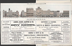 27
27  28
28  29
29  30
30  31
31  32
32  33
33  34
34 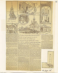 35
35  36
36  37
37  26
26 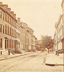 26
26  42
42  43
43  45
45  48
48  48
48  47
47  48
48 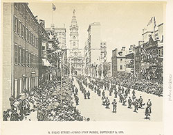 46
46  49
49  49
49  52
52 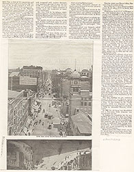 53
53  37
37  44
44  44
44  45
45  43
43  47
47  50
50 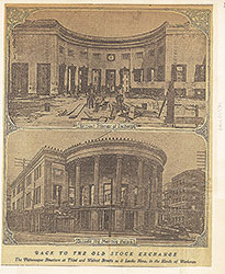 51
51  38
38  39
39  40
40 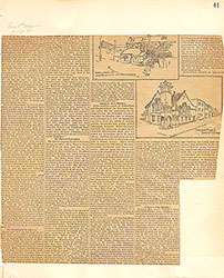 41
41  42
42  43
43  44
44  45
45  45
45  46
46 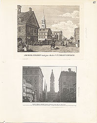 47
47 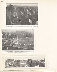 48
48 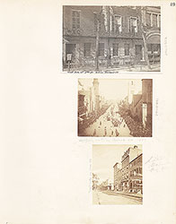 49
49  50
50  51
51  52
52  53
53  54
54  59
59 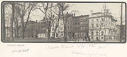 57
57  54
54  64
64  62
62 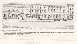 59
59  57
57  57
57  56
56 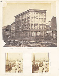 54
54  55
55  56
56  57
57 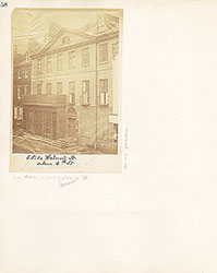 58
58  59
59  60
60 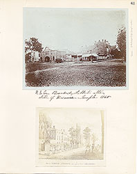 61
61 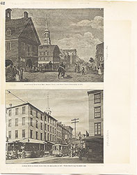 62
62 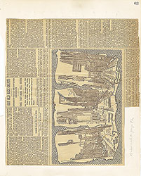 63
63  64
64  Freeman's Auction House, Walnut Street at 3rd
 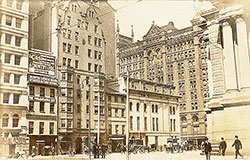 69
69  66
66  69
69  69
69  72
72  71
71  71
71  65
65 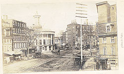 68
68  68
68  74
74  67
67 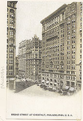 67
67  65
65  71
71 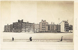 73
73 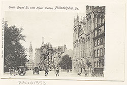 73
73  73
73  73
73  71
71  70
70  70
70  65
65  66
66 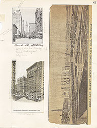 67
67  68
68  69
69  70
70  71
71  72
72  73
73  73
73  74
74  75
75 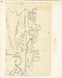 76
76 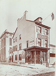 66
66 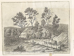 80
80  83
83  77
77  78
78 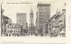 78
78  78
78  79
79  79
79 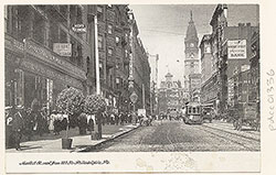 79
79  83
83  84
84  83
83  77
77  76
76  78
78  79
79 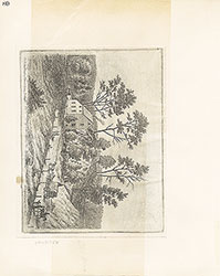 80
80
 81
81  82
82  83
83 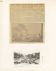 84
84 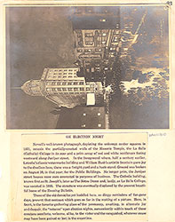 93
93 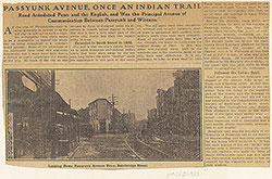 91
91 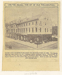 91
91 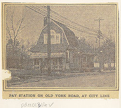 88
88  86
86  85
85 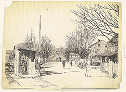 97
97  85
85  86
86  86
86  86
86 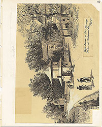 87
87  88
88  88
88  9
9 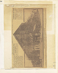 90
90  90
90 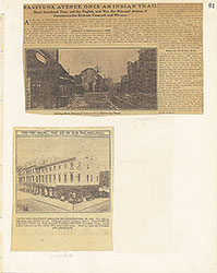 91
91  92
92 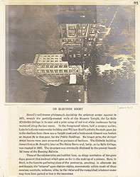 93
93  94
94  95
95  96
96 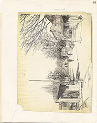 97
97  98
98