Map Collection
Our map collection enables you to see how Philadelphia's neighborhoods and streets have grown and changed. Use our interactive mapping tool to overlay atlases dating back as far as 1843 over today's street layout.
Showing 881 to 900 of 5,193
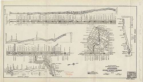
Authorized Broad Street Subway, 1915, map
1914: Estimated Time Saving From Market St-Broad to 8th St. by Recommended Rapid Transit Lines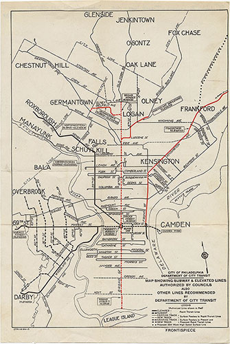
Subway & Elevated Lines...Other Lines Recommended, 1915, map
1914: Estimated Time Saving From Market St-Broad to 8th St. by Recommended Rapid Transit Lines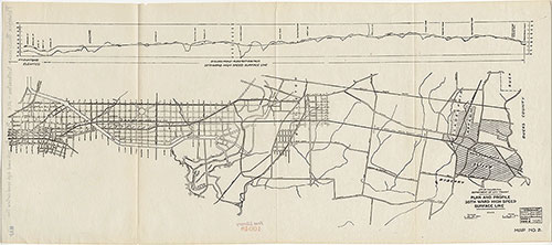
Plan and Profile, 35th Ward High Speed Surface Line, 1915, map
1914: Estimated Time Saving From Market St-Broad to 8th St. by Recommended Rapid Transit Lines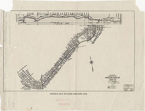
Proposed Darby Elevated Line General Plan, 1914, map
1914: Estimated Time Saving From Market St-Broad to 8th St. by Recommended Rapid Transit Lines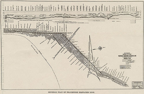
Proposed Frankford Elevated Line General Plan, 1914, map
1914: Estimated Time Saving From Market St-Broad to 8th St. by Recommended Rapid Transit Lines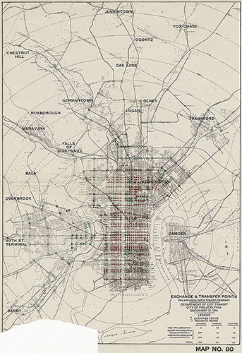
Exchange & Transfer Points, Philadelphia Rapid Transit Company, 1914, map
1914: Estimated Time Saving From Market St-Broad to 8th St. by Recommended Rapid Transit Lines
Estimated Time Saving From Market St-Broad to 8th St. by Recommended Rapid Transit Lines, 1914, map
1914: Estimated Time Saving From Market St-Broad to 8th St. by Recommended Rapid Transit Lines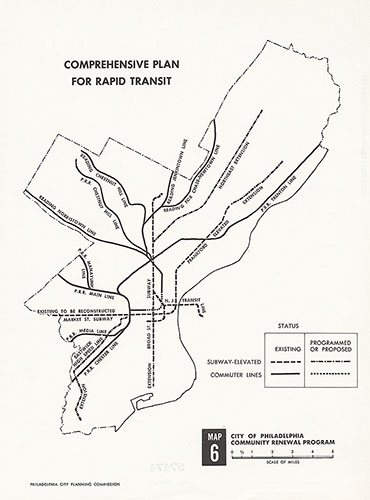
Comprehensive Plan For Rapid Transit, 1967, map
1949: Railroad Freight Facilities, Philadelphia and Vicinity

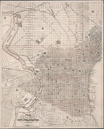
Plan of the Built Portions of the City of Philadelphia, 1857, Map
1857: R.L. Barnes, Plan of the Built Portions of the City of Philadelphia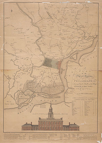
A Plan of the City and Environs of Philadelphia, 1777, Map
1777: Scull, Heap, Faden, A Plan of the City and Environs of Philadelphia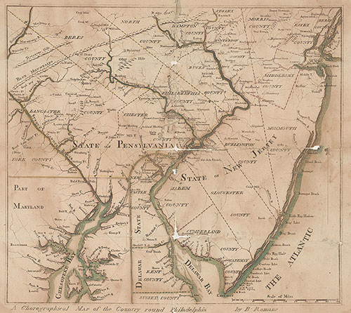
A Chorographical Map of the Country Round Philadelphia, 1778, Map
1778: Romans, A Chorographical Map of the Country Round Philadelphia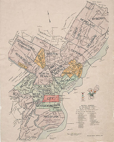
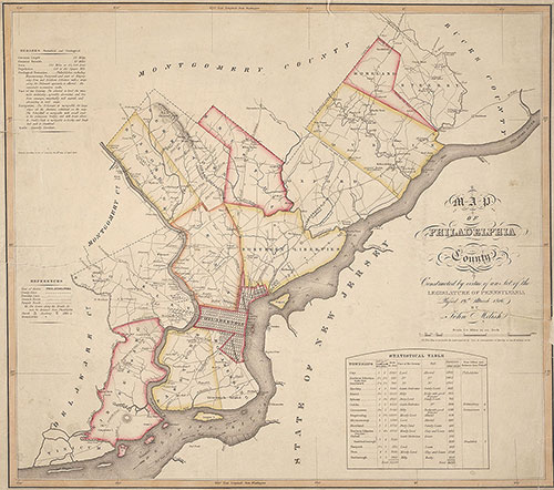
Political Divisions of Philadelphia County as of January 1, 1854, Map
1854: William Bucke Campbell, Political Divisions of Philadelphia County