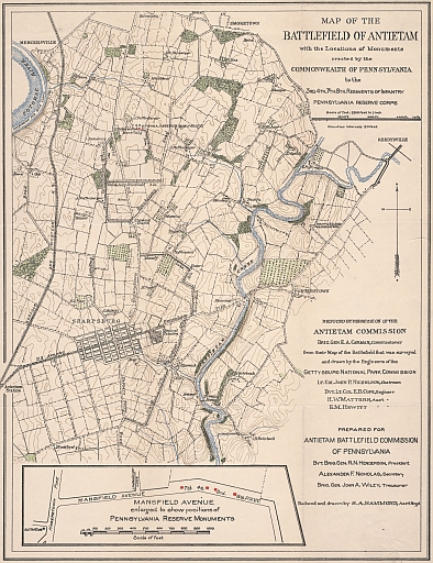
Map Collection
Our map collection enables you to see how Philadelphia's neighborhoods and streets have grown and changed. Use our interactive mapping tool to overlay atlases dating back as far as 1843 over today's street layout.
Showing 1041 to 1060 of 5,193
City Atlas of Philadelphia, 2nd to 20th and 29th and 31st Wards, 1875, Plate E
1875: G. M. Hopkins, Atlas of Philadelphia, Wards 2-20, 29, 31, Volume 6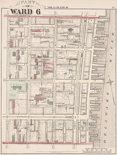
City Atlas of Philadelphia, 2nd to 20th and 29th and 31st Wards, 1875, Plate D
1875: G. M. Hopkins, Atlas of Philadelphia, Wards 2-20, 29, 31, Volume 6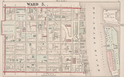
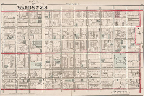
City Atlas of Philadelphia, 2nd to 20th and 29th and 31st Wards, 1875, Plate C
1875: G. M. Hopkins, Atlas of Philadelphia, Wards 2-20, 29, 31, Volume 6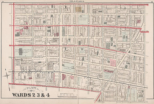
City Atlas of Philadelphia, 2nd to 20th and 29th and 31st Wards, 1875, Plate B
1875: G. M. Hopkins, Atlas of Philadelphia, Wards 2-20, 29, 31, Volume 6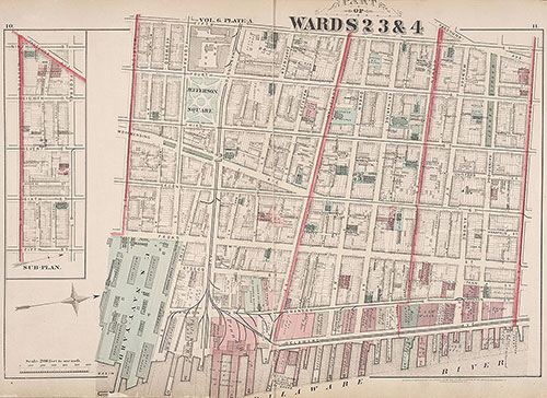
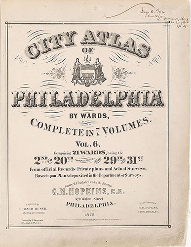
City Atlas of Philadelphia, 2nd to 20th and 29th and 31st Wards, 1875, Plate A
1875: G. M. Hopkins, Atlas of Philadelphia, Wards 2-20, 29, 31, Volume 6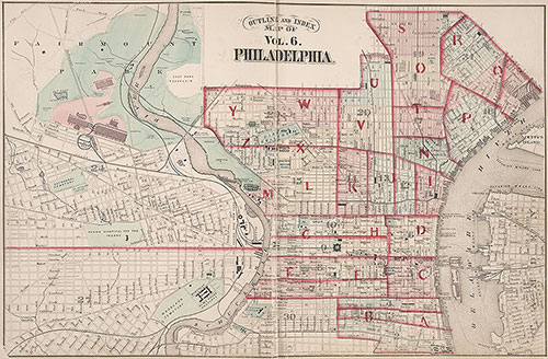
City Atlas of Philadelphia, 2nd to 20th and 29th and 31st Wards, 1875, Index Map
1875: G. M. Hopkins, Atlas of Philadelphia, Wards 2-20, 29, 31, Volume 6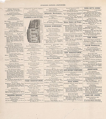
City Atlas of Philadelphia, 2nd to 20th and 29th and 31st Wards, 1875, Business Notices
1875: G. M. Hopkins, Atlas of Philadelphia, Wards 2-20, 29, 31, Volume 6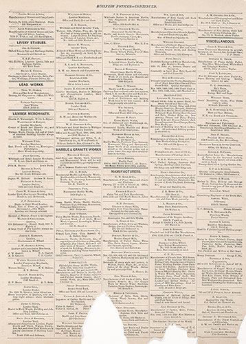
City Atlas of Philadelphia, 2nd to 20th and 29th and 31st Wards, 1875, Business Notices
1875: G. M. Hopkins, Atlas of Philadelphia, Wards 2-20, 29, 31, Volume 6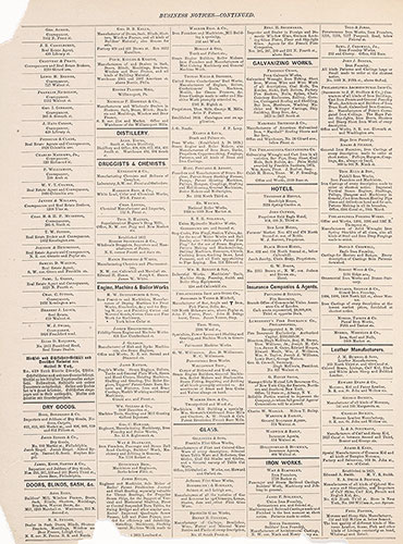
City Atlas of Philadelphia, 2nd to 20th and 29th and 31st Wards, 1875, Business Notices
1875: G. M. Hopkins, Atlas of Philadelphia, Wards 2-20, 29, 31, Volume 6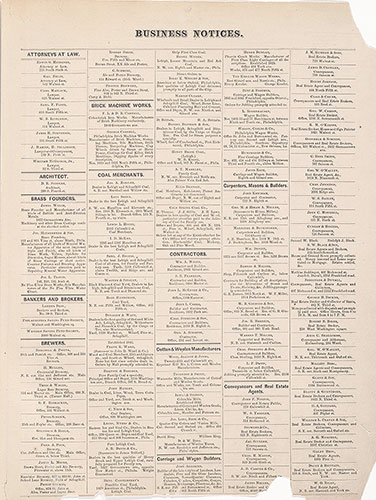
City Atlas of Philadelphia, 2nd to 20th and 29th and 31st Wards, 1875, Business Notices
1875: G. M. Hopkins, Atlas of Philadelphia, Wards 2-20, 29, 31, Volume 6