Map Collection
Our map collection enables you to see how Philadelphia's neighborhoods and streets have grown and changed. Use our interactive mapping tool to overlay atlases dating back as far as 1843 over today's street layout.
Showing 1481 to 1500 of 5,193
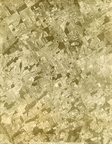
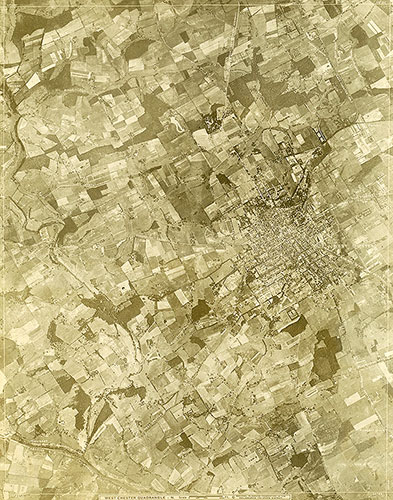
[Aerial Survey of the Philadelphia Region], Plate 114
1928: Aerial Survey of the Philadelphia Region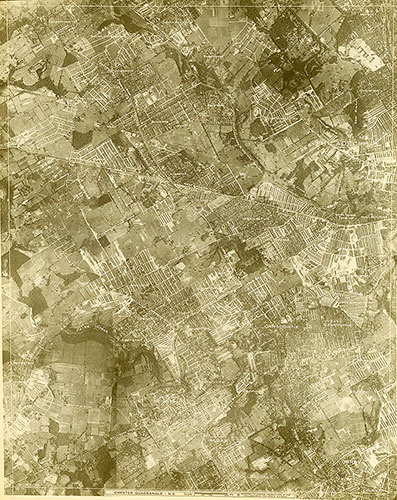
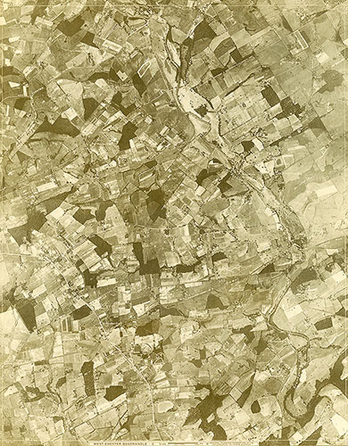
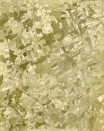
[Aerial Survey of the Philadelphia Region], Plate 113
1928: Aerial Survey of the Philadelphia Region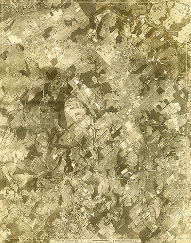
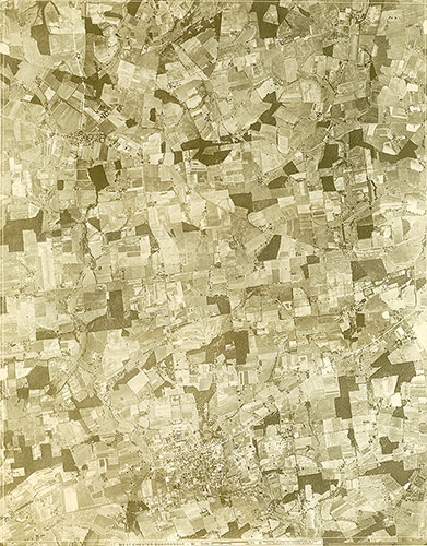
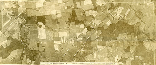
[Aerial Survey of the Philadelphia Region], Plate 112
1928: Aerial Survey of the Philadelphia Region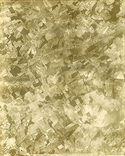
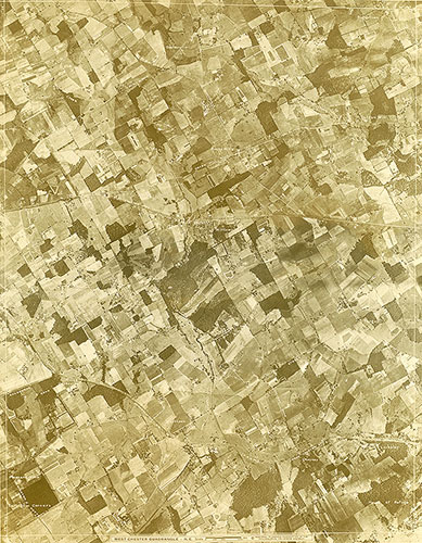
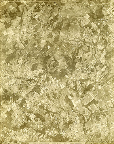
[Aerial Survey of the Philadelphia Region], Plate 111
1928: Aerial Survey of the Philadelphia Region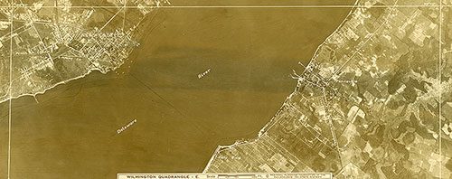
[Aerial Survey of the Philadelphia Region], Plate 110
1928: Aerial Survey of the Philadelphia Region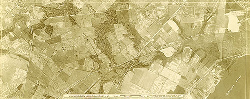
[Aerial Survey of the Philadelphia Region], Plate 109
1928: Aerial Survey of the Philadelphia Region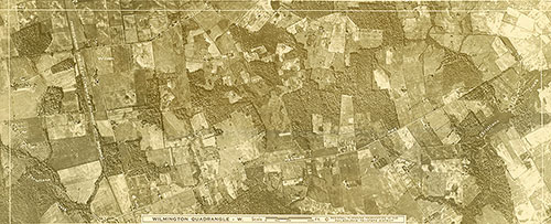
[Aerial Survey of the Philadelphia Region], Plate 108
1928: Aerial Survey of the Philadelphia Region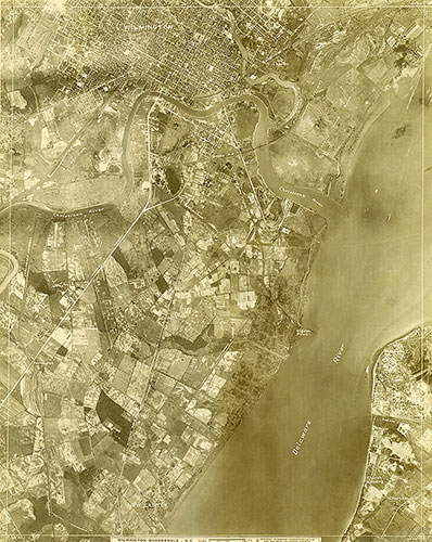
[Aerial Survey of the Philadelphia Region], Plate 107
1928: Aerial Survey of the Philadelphia Region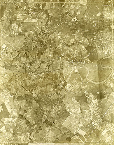
[Aerial Survey of the Philadelphia Region], Plate 106
1928: Aerial Survey of the Philadelphia Region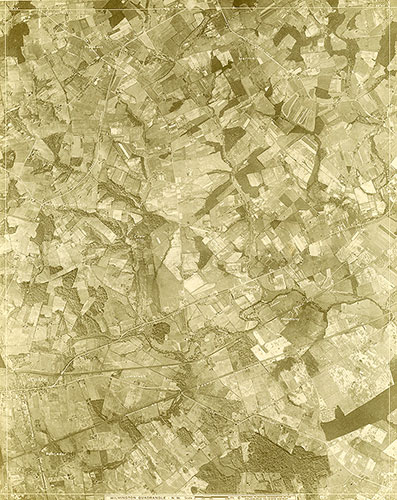
[Aerial Survey of the Philadelphia Region], Plate 105
1928: Aerial Survey of the Philadelphia Region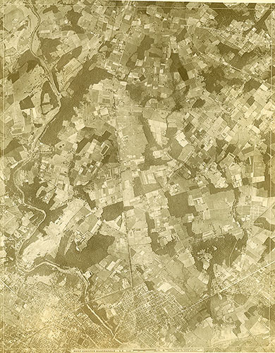
[Aerial Survey of the Philadelphia Region], Plate 104
1928: Aerial Survey of the Philadelphia Region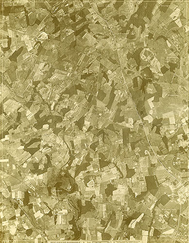
[Aerial Survey of the Philadelphia Region], Plate 103
1928: Aerial Survey of the Philadelphia Region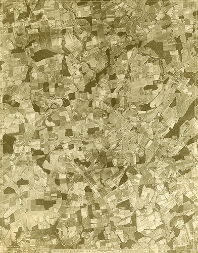
[Aerial Survey of the Philadelphia Region], Plate 102
1928: Aerial Survey of the Philadelphia Region