Map Collection
Our map collection enables you to see how Philadelphia's neighborhoods and streets have grown and changed. Use our interactive mapping tool to overlay atlases dating back as far as 1843 over today's street layout.
Showing 1421 to 1440 of 5,193
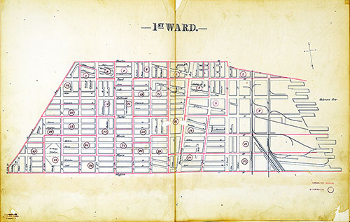
Atlas of the City of Philadelphia by Wards, Ward 1
1893: J. E. Shiedt, Atlas of the City of Philadelphia by Wards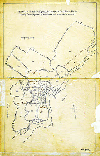
Atlas of the City of Philadelphia by Wards, Index
1893: J. E. Shiedt, Atlas of the City of Philadelphia by Wards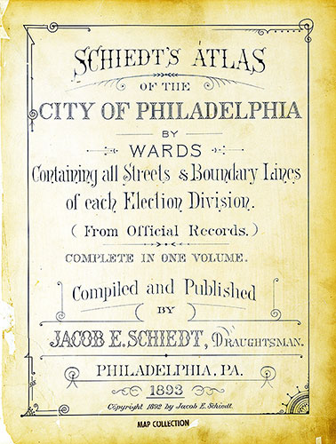
Atlas of the City of Philadelphia by Wards, Title Page
1893: J. E. Shiedt, Atlas of the City of Philadelphia by Wards
Atlas of the City of Philadelphia by Wards, Cover
1893: J. E. Shiedt, Atlas of the City of Philadelphia by Wards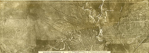
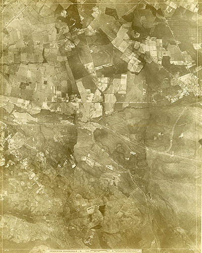
[Aerial Survey of the Philadelphia Region], Plate 170
1928: Aerial Survey of the Philadelphia Region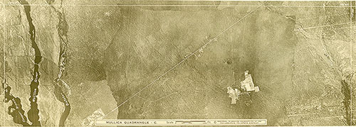
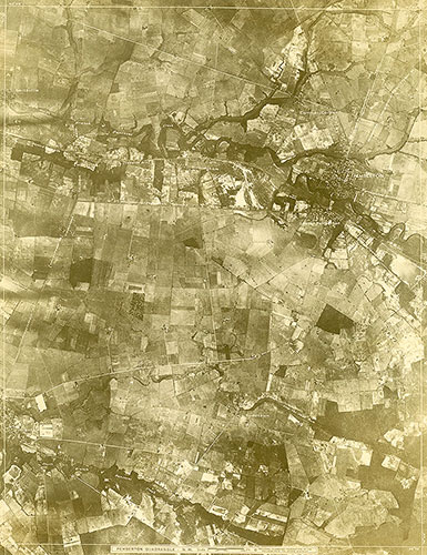
[Aerial Survey of the Philadelphia Region], Plate 169
1928: Aerial Survey of the Philadelphia Region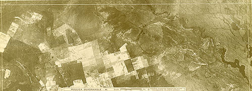
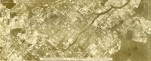
[Aerial Survey of the Philadelphia Region], Plate 168
1928: Aerial Survey of the Philadelphia Region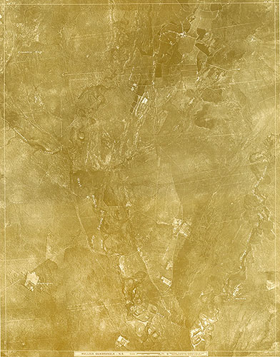
[Aerial Survey of the Philadelphia Region], Plate 167
1928: Aerial Survey of the Philadelphia Region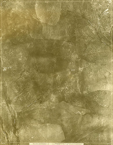
[Aerial Survey of the Philadelphia Region], Plate 166
1928: Aerial Survey of the Philadelphia Region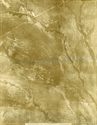
[Aerial Survey of the Philadelphia Region], Plate 165
1928: Aerial Survey of the Philadelphia Region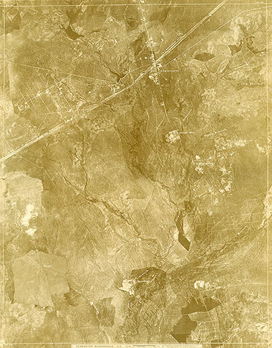
[Aerial Survey of the Philadelphia Region], Plate 164
1928: Aerial Survey of the Philadelphia Region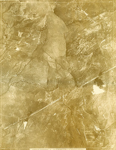
[Aerial Survey of the Philadelphia Region], Plate 163
1928: Aerial Survey of the Philadelphia Region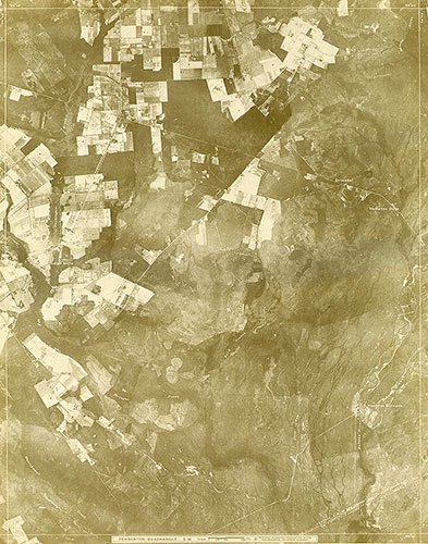
[Aerial Survey of the Philadelphia Region], Plate 162
1928: Aerial Survey of the Philadelphia Region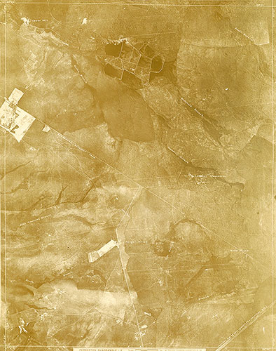
[Aerial Survey of the Philadelphia Region], Plate 161
1928: Aerial Survey of the Philadelphia Region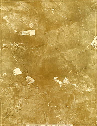
[Aerial Survey of the Philadelphia Region], Plate 160
1928: Aerial Survey of the Philadelphia Region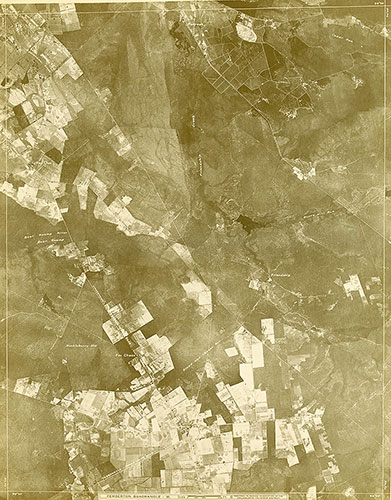
[Aerial Survey of the Philadelphia Region], Plate 159
1928: Aerial Survey of the Philadelphia Region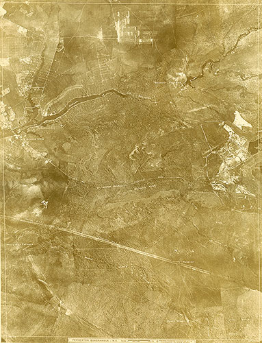
[Aerial Survey of the Philadelphia Region], Plate 158
1928: Aerial Survey of the Philadelphia Region