Map Collection
Our map collection enables you to see how Philadelphia's neighborhoods and streets have grown and changed. Use our interactive mapping tool to overlay atlases dating back as far as 1843 over today's street layout.
Showing 1441 to 1460 of 5,193
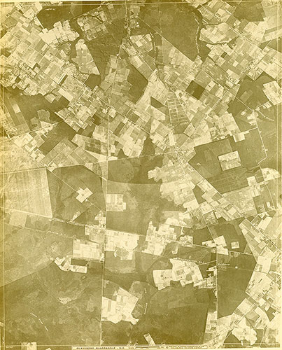
[Aerial Survey of the Philadelphia Region], Plate 154
1928: Aerial Survey of the Philadelphia Region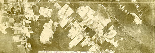
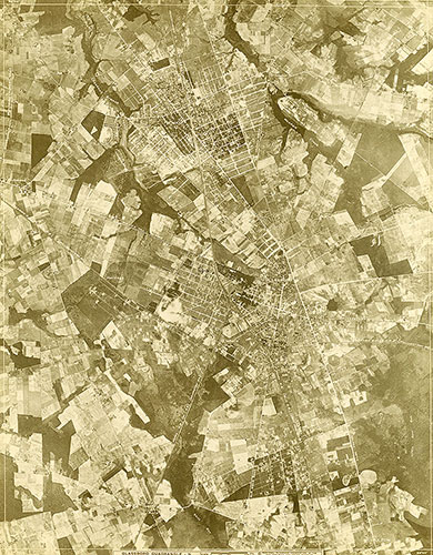
[Aerial Survey of the Philadelphia Region], Plate 153
1928: Aerial Survey of the Philadelphia Region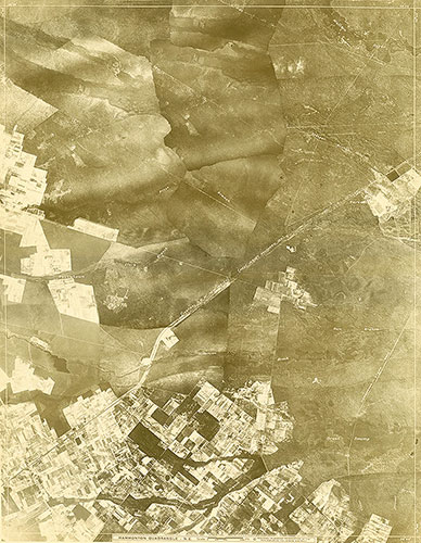
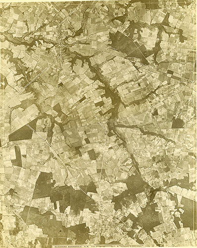
[Aerial Survey of the Philadelphia Region], Plate 152
1928: Aerial Survey of the Philadelphia Region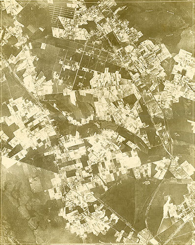
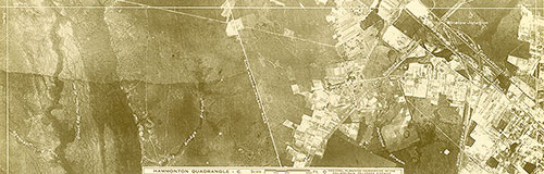
[Aerial Survey of the Philadelphia Region], Plate 151
1928: Aerial Survey of the Philadelphia Region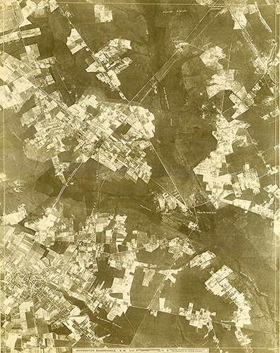
[Aerial Survey of the Philadelphia Region], Plate 150
1928: Aerial Survey of the Philadelphia Region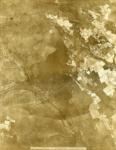
[Aerial Survey of the Philadelphia Region], Plate 149
1928: Aerial Survey of the Philadelphia Region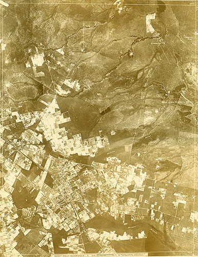
[Aerial Survey of the Philadelphia Region], Plate 148
1928: Aerial Survey of the Philadelphia Region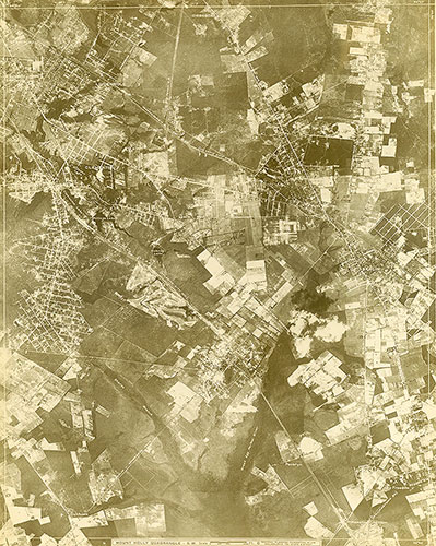
[Aerial Survey of the Philadelphia Region], Plate 147
1928: Aerial Survey of the Philadelphia Region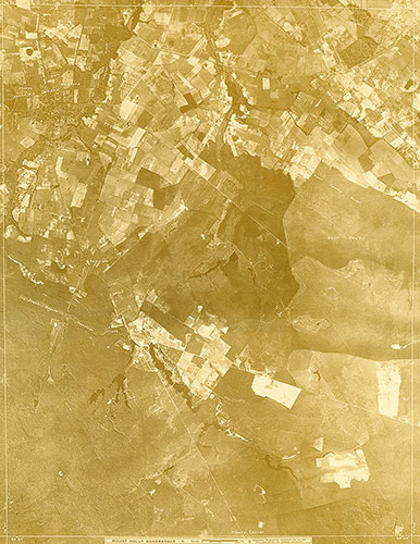
[Aerial Survey of the Philadelphia Region], Plate 146
1928: Aerial Survey of the Philadelphia Region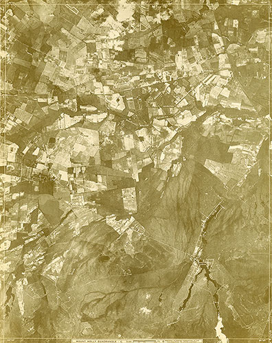
[Aerial Survey of the Philadelphia Region], Plate 145
1928: Aerial Survey of the Philadelphia Region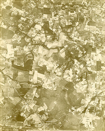
[Aerial Survey of the Philadelphia Region], Plate 144
1928: Aerial Survey of the Philadelphia Region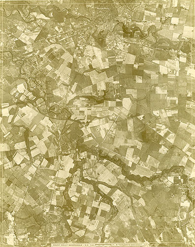
[Aerial Survey of the Philadelphia Region], Plate 143
1928: Aerial Survey of the Philadelphia Region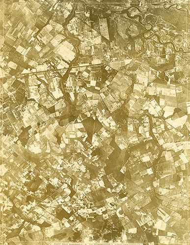
[Aerial Survey of the Philadelphia Region], Plate 142
1928: Aerial Survey of the Philadelphia Region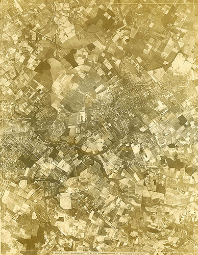
[Aerial Survey of the Philadelphia Region], Plate 141
1928: Aerial Survey of the Philadelphia Region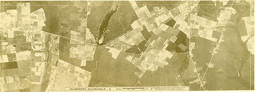
[Aerial Survey of the Philadelphia Region], Plate 140
1928: Aerial Survey of the Philadelphia Region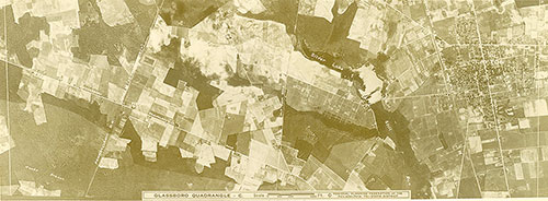
[Aerial Survey of the Philadelphia Region], Plate 139
1928: Aerial Survey of the Philadelphia Region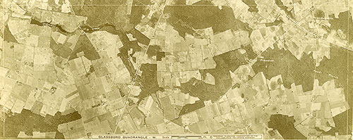
[Aerial Survey of the Philadelphia Region], Plate 138
1928: Aerial Survey of the Philadelphia Region