Map Collection
Our map collection enables you to see how Philadelphia's neighborhoods and streets have grown and changed. Use our interactive mapping tool to overlay atlases dating back as far as 1843 over today's street layout.
Showing 741 to 760 of 5,193
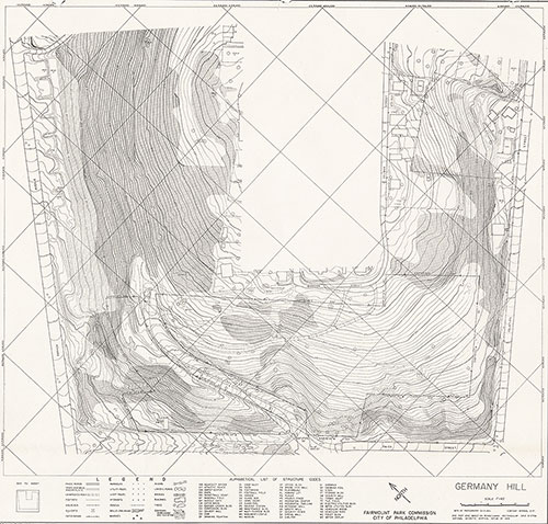
Germany Hill Park, 1983, Map
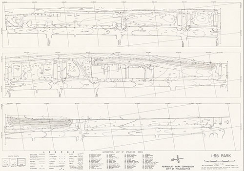
1868: Maps of Farms and Lots Embraced Within the Limits of Fairmount Park
Bartram's Garden, 1983, Map
1868: Maps of Farms and Lots Embraced Within the Limits of Fairmount Park
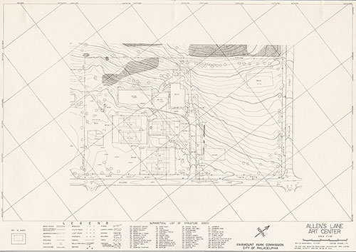
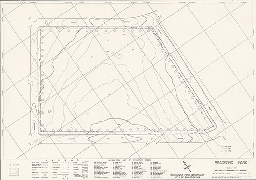
Allen's Lane Art Center, 1983, Map
1868: Maps of Farms and Lots Embraced Within the Limits of Fairmount Park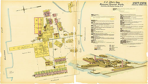
Hexamer General Surveys, Volume 27, Plates 2577-2578
1891-1893: Hexamer General Surveys: Volume 27, Plates 2556/7-2654/5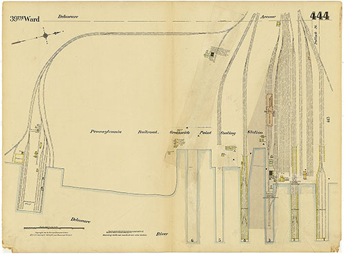
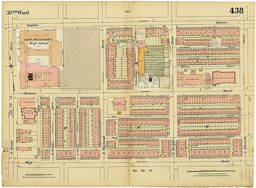
Insurance Maps of the City of Philadelphia, 1915-1920, Plate 444
1915-1920: Hexamer, Insurance Maps of the City of Philadelphia, Volume 20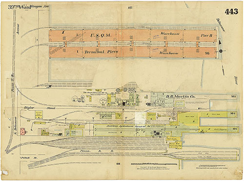
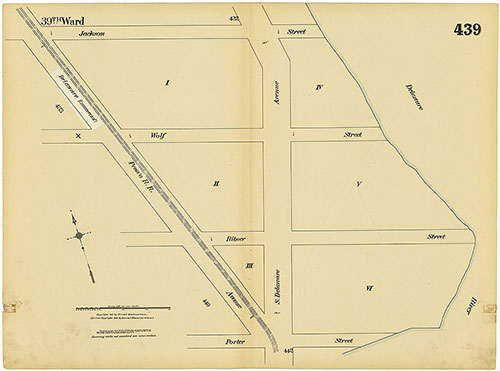
Insurance Maps of the City of Philadelphia, 1915-1920, Plate 443
1915-1920: Hexamer, Insurance Maps of the City of Philadelphia, Volume 20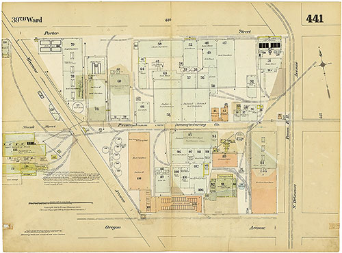
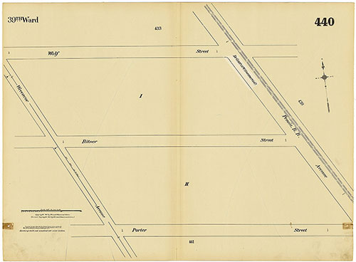
Insurance Maps of the City of Philadelphia, 1915-1920, Plate 441
1915-1920: Hexamer, Insurance Maps of the City of Philadelphia, Volume 20