Map Collection
Our map collection enables you to see how Philadelphia's neighborhoods and streets have grown and changed. Use our interactive mapping tool to overlay atlases dating back as far as 1843 over today's street layout.
Showing 721 to 740 of 5,193
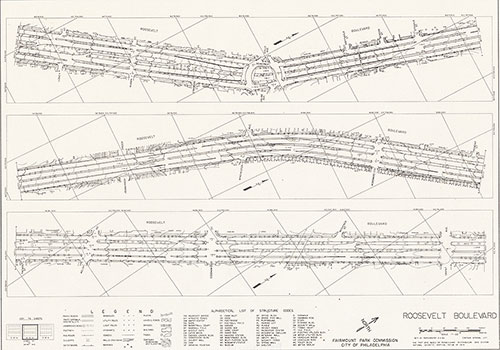
Roosevelt Boulevard, 1982, Map 4
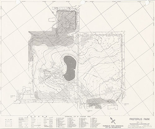
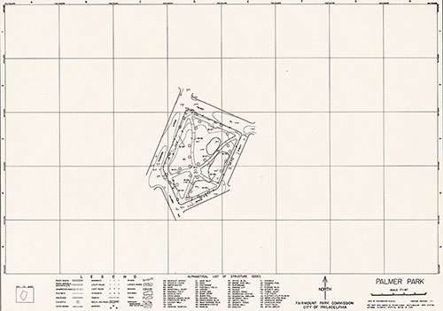
1868: Maps of Farms and Lots Embraced Within the Limits of Fairmount Park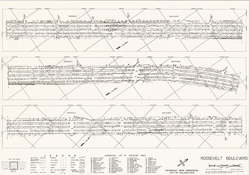
Roosevelt Boulevard, 1982, Map 5
1868: Maps of Farms and Lots Embraced Within the Limits of Fairmount Park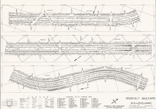
Roosevelt Boulevard, 1982, Map 3
1868: Maps of Farms and Lots Embraced Within the Limits of Fairmount Park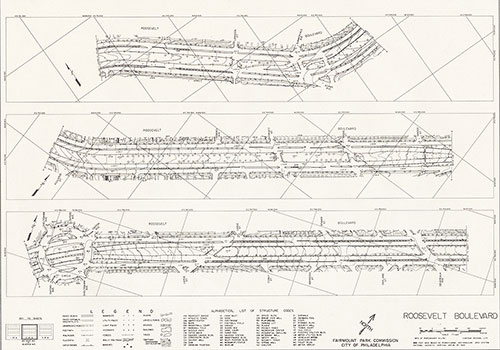
Roosevelt Boulevard, 1982, Map 2
1868: Maps of Farms and Lots Embraced Within the Limits of Fairmount Park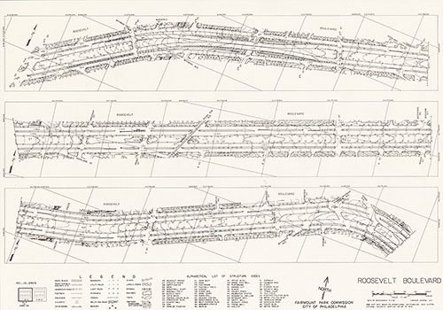
Roosevelt Boulevard, 1982, Map 1
1868: Maps of Farms and Lots Embraced Within the Limits of Fairmount Park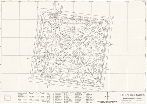
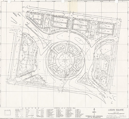
Rittenhouse Square, 1983, Map
1868: Maps of Farms and Lots Embraced Within the Limits of Fairmount Park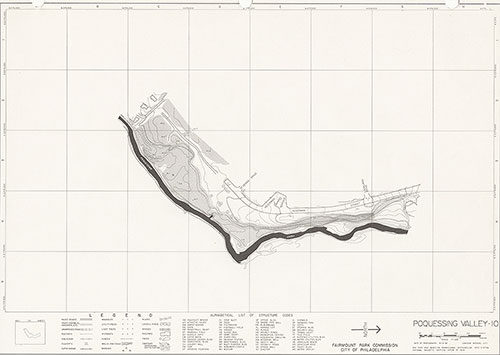
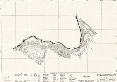
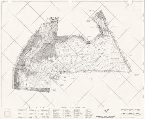
Poquessing Valley, 1982, Map 10
1868: Maps of Farms and Lots Embraced Within the Limits of Fairmount Park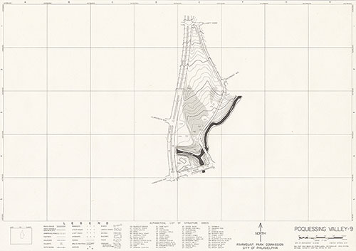
Poquessing Valley, 1982, Map 9
1868: Maps of Farms and Lots Embraced Within the Limits of Fairmount Park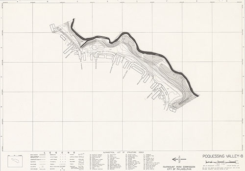
Poquessing Valley, 1982, Map 8
1868: Maps of Farms and Lots Embraced Within the Limits of Fairmount Park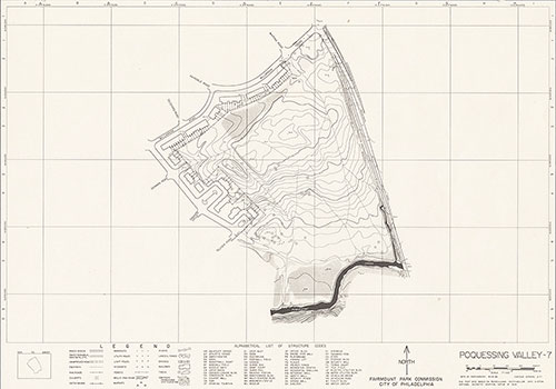
Poquessing Valley, 1982, Map 7
1868: Maps of Farms and Lots Embraced Within the Limits of Fairmount Park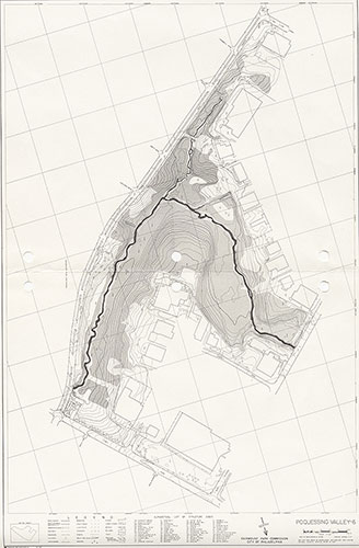
Poquessing Valley, 1982, Map 6
1868: Maps of Farms and Lots Embraced Within the Limits of Fairmount Park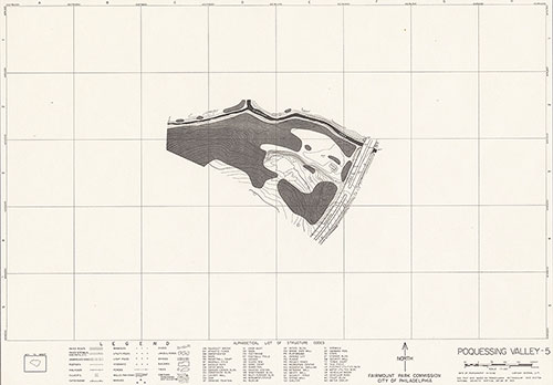
Poquessing Valley, 1982, Map 5
1868: Maps of Farms and Lots Embraced Within the Limits of Fairmount Park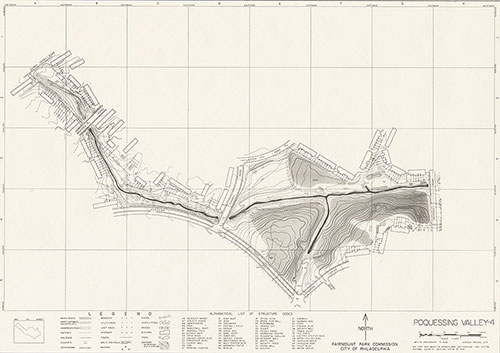
Poquessing Valley, 1982, Map 4
1868: Maps of Farms and Lots Embraced Within the Limits of Fairmount Park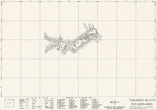
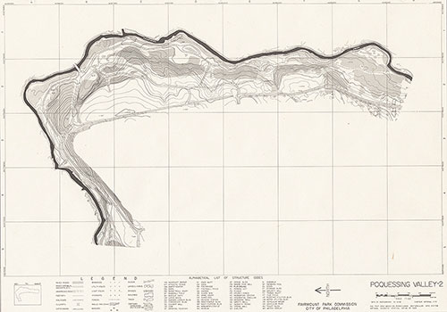
Poquessing Valley, 1982, Map 3
1868: Maps of Farms and Lots Embraced Within the Limits of Fairmount Park