Map Collection
Our map collection enables you to see how Philadelphia's neighborhoods and streets have grown and changed. Use our interactive mapping tool to overlay atlases dating back as far as 1843 over today's street layout.
Showing 4761 to 4780 of 5,193
Maps of the City of Philadelphia, 1858-1860, Plate 92, Section B1
1860: Hexamer & Locher, Maps of the City of Philadelphia: Volume 7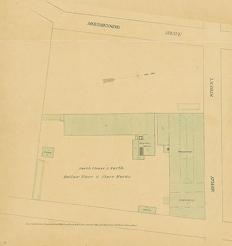
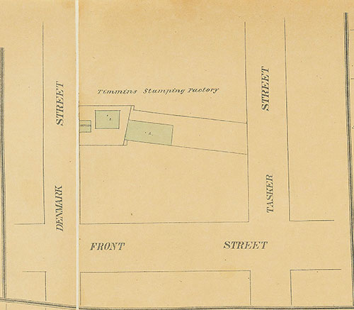
Maps of the City of Philadelphia, 1858-1860, Plate 92, Section A3
1860: Hexamer & Locher, Maps of the City of Philadelphia: Volume 7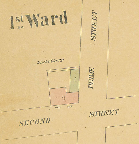
Maps of the City of Philadelphia, 1858-1860, Plate 92, Section A1
1860: Hexamer & Locher, Maps of the City of Philadelphia: Volume 7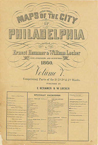
Maps of the City of Philadelphia, 1858-1860, Title and Legend
1860: Hexamer & Locher, Maps of the City of Philadelphia: Volume 7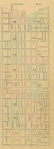
Maps of the City of Philadelphia, 1858-1860, Index (vol. 2)
1860: Hexamer & Locher, Maps of the City of Philadelphia: Volume 2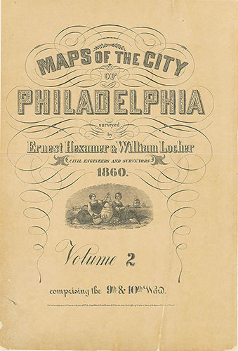
Maps of the City of Philadelphia, 1858-1860, Title
1860: Hexamer & Locher, Maps of the City of Philadelphia: Volume 2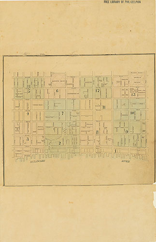
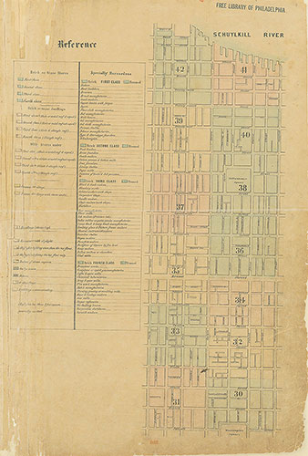
Maps of the City of Philadelphia, 1858-1860, Index (vol. 1)
1860: Hexamer & Locher, Maps of the City of Philadelphia: Volume 1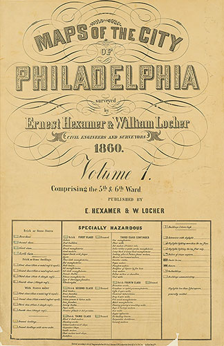
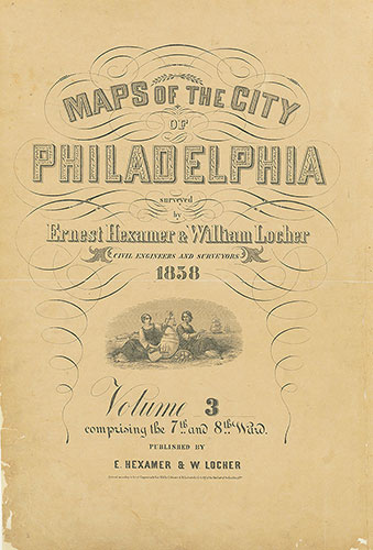
Maps of the City of Philadelphia, 1858-1860, Title and Legend
1860: Hexamer & Locher, Maps of the City of Philadelphia: Volume 1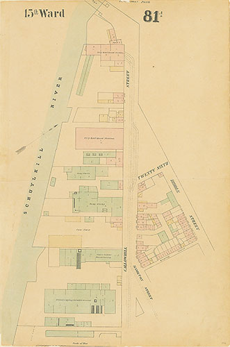
Maps of the City of Philadelphia, 1858-1860, Plate 81A
1859: Hexamer & Locher, Maps of the City of Philadelphia: Volume 6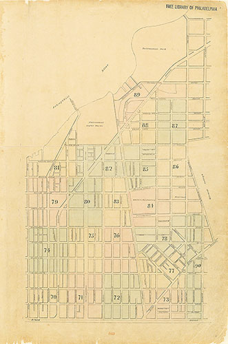
Maps of the City of Philadelphia, 1858-1860, Index (vol. 6)
1859: Hexamer & Locher, Maps of the City of Philadelphia: Volume 6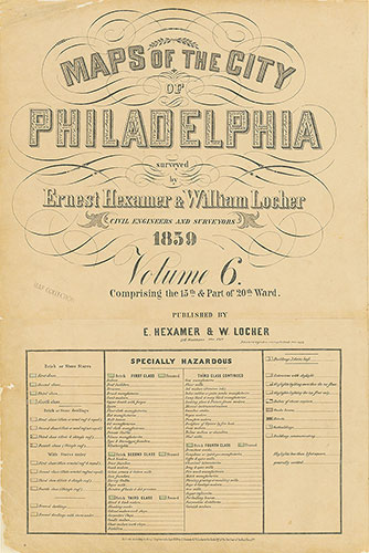
Maps of the City of Philadelphia, 1858-1860, Title and Legend
1859: Hexamer & Locher, Maps of the City of Philadelphia: Volume 6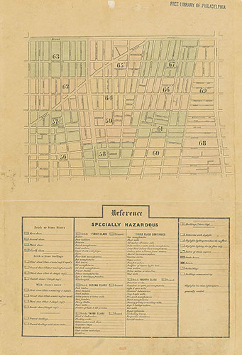
Maps of the City of Philadelphia, 1858-1860, Index (vol. 5) and Legend
1859: Hexamer & Locher, Maps of the City of Philadelphia: Volume 5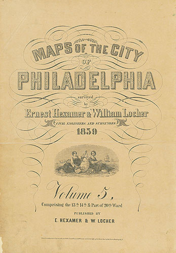
Maps of the City of Philadelphia, 1858-1860, Title
1859: Hexamer & Locher, Maps of the City of Philadelphia: Volume 5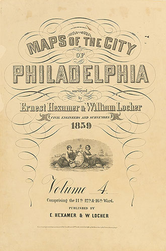
Maps of the City of Philadelphia, 1858-1860, Title
1859: Hexamer & Locher, Maps of the City of Philadelphia: Volume 4