Map Collection
Our map collection enables you to see how Philadelphia's neighborhoods and streets have grown and changed. Use our interactive mapping tool to overlay atlases dating back as far as 1843 over today's street layout.
Showing 4681 to 4700 of 5,193
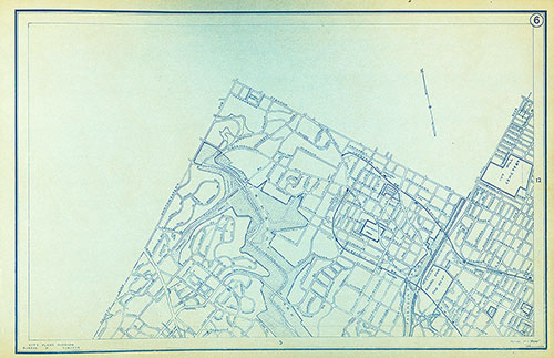
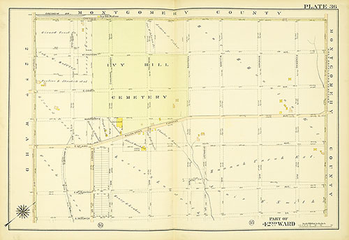
Atlas of the City of Philadelphia, 42nd Ward, Plate 36
1913: Bromley, Atlas of the City of Philadelphia, 42nd Ward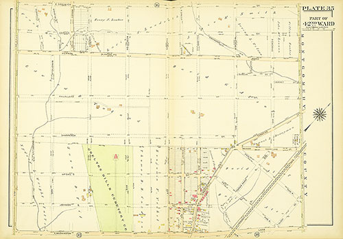
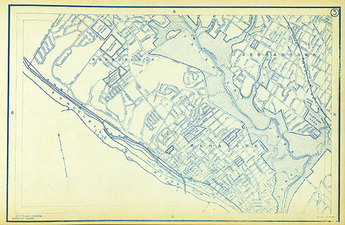
Atlas of the City of Philadelphia, 42nd Ward, Plate 35
1913: Bromley, Atlas of the City of Philadelphia, 42nd Ward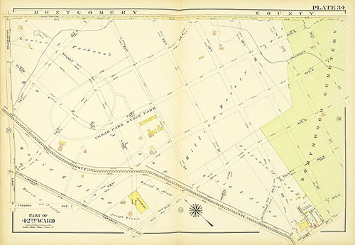
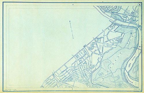
Atlas of the City of Philadelphia, 42nd Ward, Plate 34
1913: Bromley, Atlas of the City of Philadelphia, 42nd Ward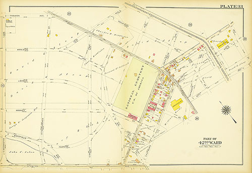
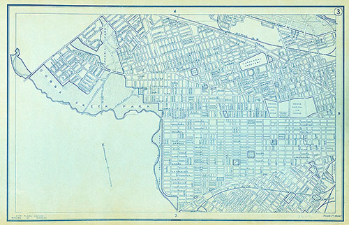
Atlas of the City of Philadelphia, 42nd Ward, Plate 33
1913: Bromley, Atlas of the City of Philadelphia, 42nd Ward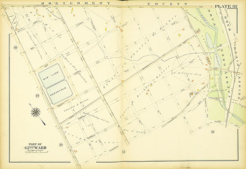
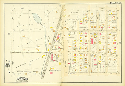
Atlas of the City of Philadelphia, 42nd Ward, Plate 32
1913: Bromley, Atlas of the City of Philadelphia, 42nd Ward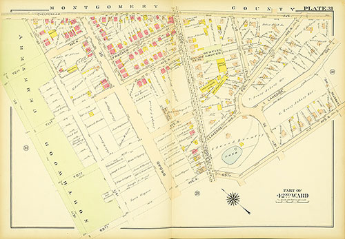
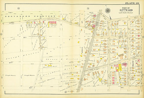
Atlas of the City of Philadelphia, 42nd Ward, Plate 31
1913: Bromley, Atlas of the City of Philadelphia, 42nd Ward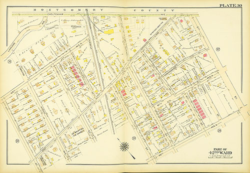
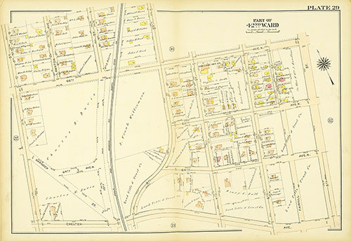
Atlas of the City of Philadelphia, 42nd Ward, Plate 30
1913: Bromley, Atlas of the City of Philadelphia, 42nd Ward