Map Collection
Our map collection enables you to see how Philadelphia's neighborhoods and streets have grown and changed. Use our interactive mapping tool to overlay atlases dating back as far as 1843 over today's street layout.
Showing 4501 to 4520 of 5,193
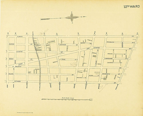
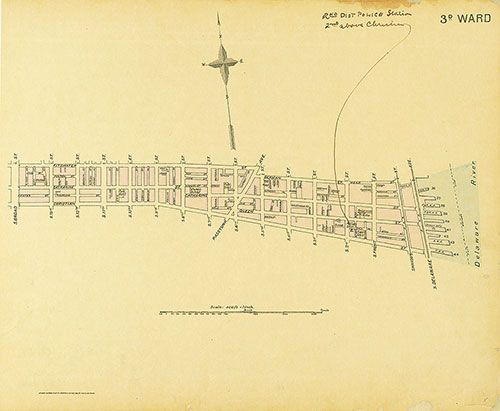
Street Atlas of Philadelphia by Wards, 12th Ward
1895: Kaufmann, Street Atlas of Philadelphia by Wards
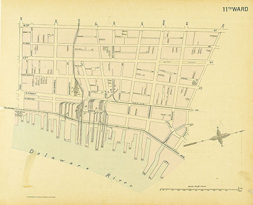
Street Atlas of Philadelphia by Wards, 11th Ward
1895: Kaufmann, Street Atlas of Philadelphia by Wards
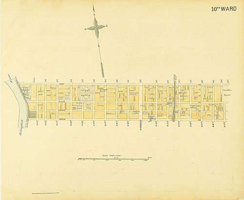
Street Atlas of Philadelphia by Wards, 10th Ward
1895: Kaufmann, Street Atlas of Philadelphia by Wards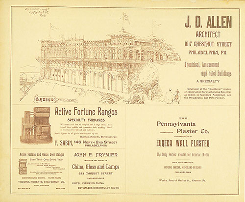
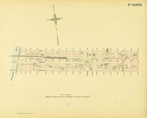
Street Atlas of Philadelphia by Wards, 9th Ward
1895: Kaufmann, Street Atlas of Philadelphia by Wards
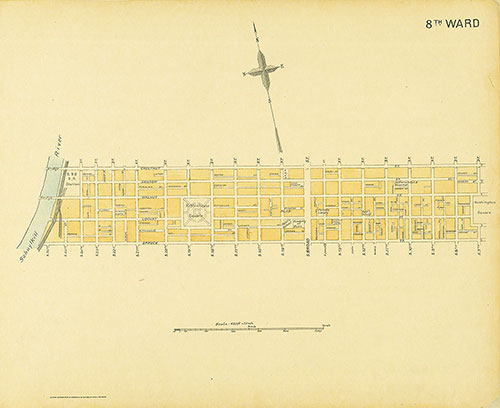
Street Atlas of Philadelphia by Wards, 8th Ward
1895: Kaufmann, Street Atlas of Philadelphia by Wards
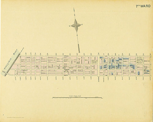
Street Atlas of Philadelphia by Wards, 7th Ward
1895: Kaufmann, Street Atlas of Philadelphia by Wards

Street Atlas of Philadelphia by Wards, 6th Ward
1895: Kaufmann, Street Atlas of Philadelphia by Wards
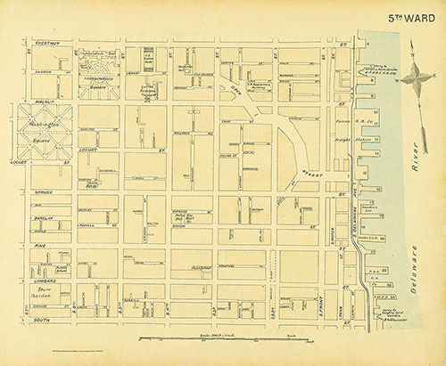
Street Atlas of Philadelphia by Wards, 5th Ward
1895: Kaufmann, Street Atlas of Philadelphia by Wards
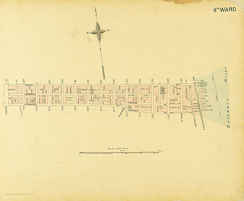
Street Atlas of Philadelphia by Wards, 4th Ward
1895: Kaufmann, Street Atlas of Philadelphia by Wards