Map Collection
Our map collection enables you to see how Philadelphia's neighborhoods and streets have grown and changed. Use our interactive mapping tool to overlay atlases dating back as far as 1843 over today's street layout.
Showing 4441 to 4460 of 5,193
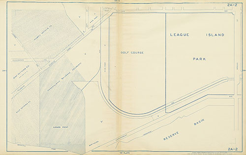
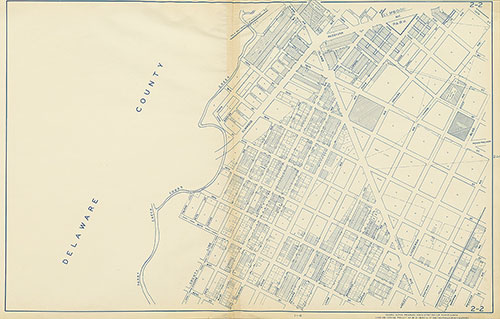
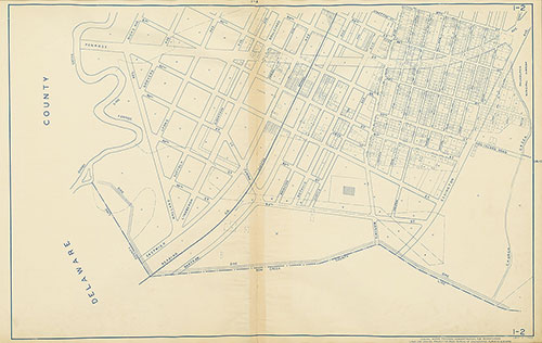
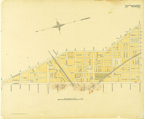
Street Atlas of Philadelphia by Wards, 37th Ward
1895: Kaufmann, Street Atlas of Philadelphia by Wards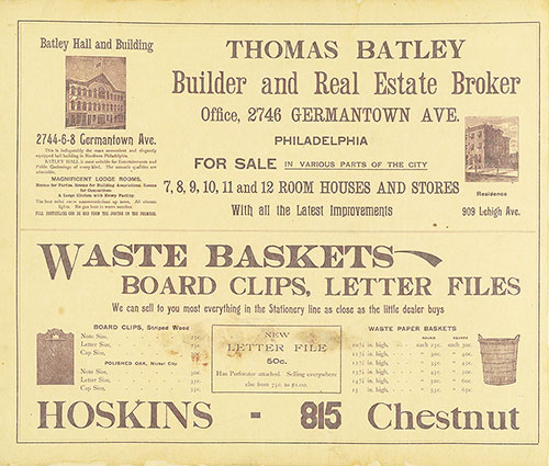
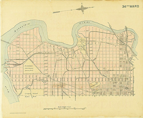
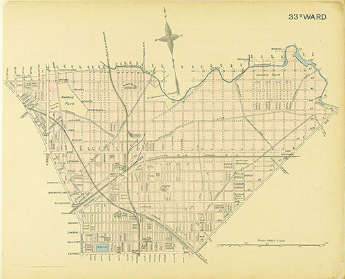
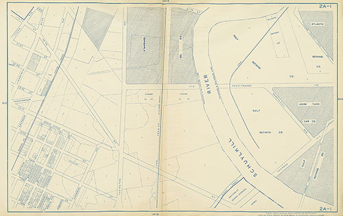
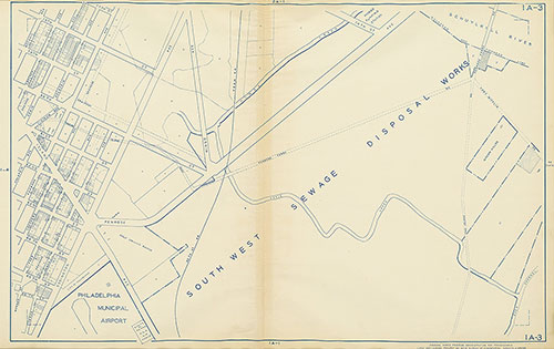
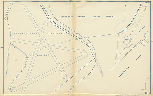
Street Atlas of Philadelphia by Wards, 36th Ward
1895: Kaufmann, Street Atlas of Philadelphia by Wards
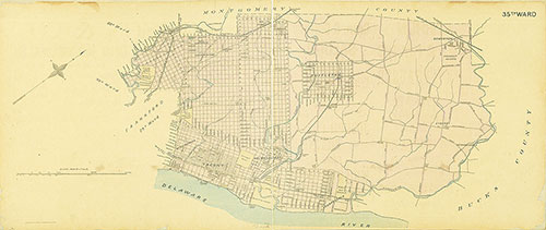
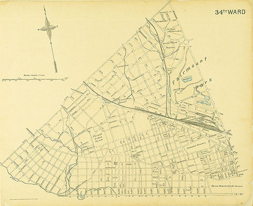
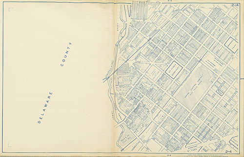
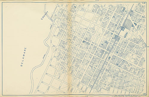
Street Atlas of Philadelphia by Wards, 35th Ward
1895: Kaufmann, Street Atlas of Philadelphia by Wards