Map Collection
Our map collection enables you to see how Philadelphia's neighborhoods and streets have grown and changed. Use our interactive mapping tool to overlay atlases dating back as far as 1843 over today's street layout.
Showing 121 to 125 of 125
Results for brewery
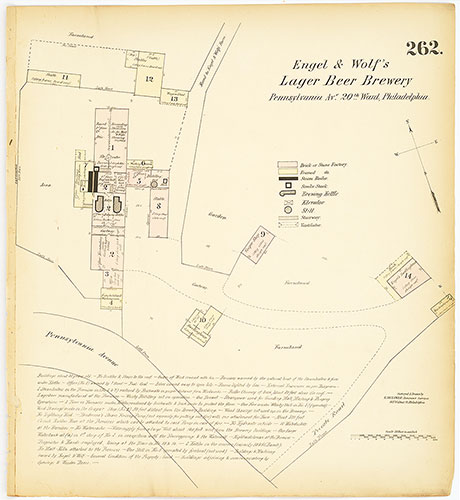
Hexamer General Surveys, Volume 4, Plate 262
1866-1867: Hexamer General Surveys: Volume 4, Plates 261-356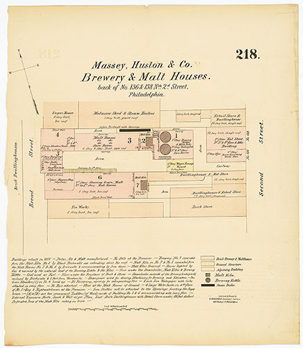
Hexamer General Surveys, Volume 3, Plate 218
1866-1867: Hexamer General Surveys: Volume 3, Plates 161-260