Map Collection
Our map collection enables you to see how Philadelphia's neighborhoods and streets have grown and changed. Use our interactive mapping tool to overlay atlases dating back as far as 1843 over today's street layout.
Showing 4221 to 4240 of 5,193

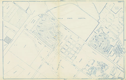
Maps of the City of Philadelphia, 1858-1860, Plate 46
1859: Hexamer & Locher, Maps of the City of Philadelphia: Volume 4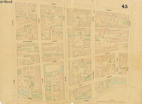
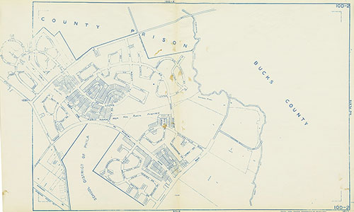
Maps of the City of Philadelphia, 1858-1860, Plate 45
1859: Hexamer & Locher, Maps of the City of Philadelphia: Volume 4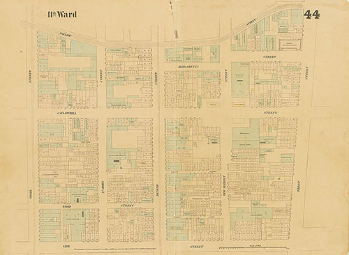
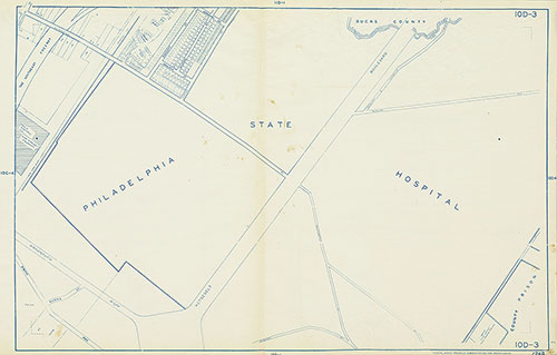
Maps of the City of Philadelphia, 1858-1860, Plate 44
1859: Hexamer & Locher, Maps of the City of Philadelphia: Volume 4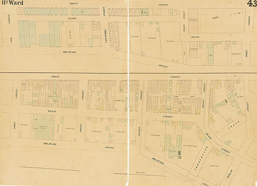
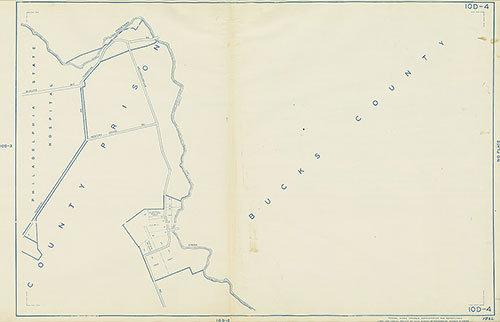
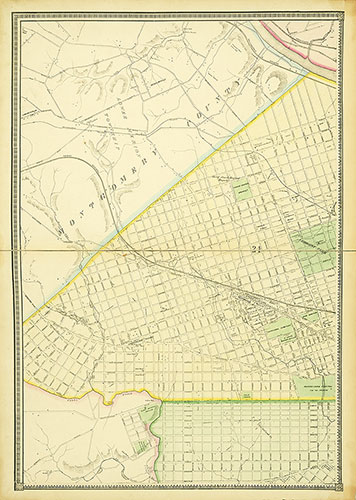
Maps of the City of Philadelphia, 1858-1860, Plate 43
1859: Hexamer & Locher, Maps of the City of Philadelphia: Volume 4
Maps of the City of Philadelphia, 1858-1860, Plate 40
1858: Hexamer & Locher, Maps of the City of Philadelphia: Volume 3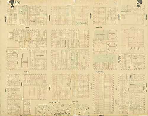
Maps of the City of Philadelphia, 1858-1860, Plate 30
1858: Hexamer & Locher, Maps of the City of Philadelphia: Volume 3
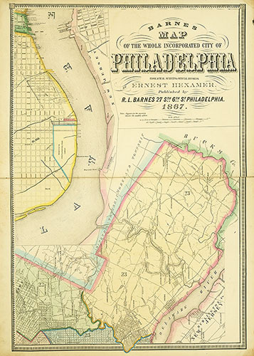
Map of the Whole Incorporated City of Philadelphia, 1867, Plate 6
1867: Barnes, Map of the Whole Incorporated City of Philadelphia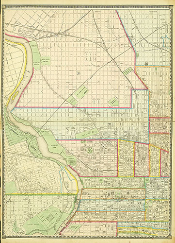
Map of the Whole Incorporated City of Philadelphia, 1867, Plate 5
1867: Barnes, Map of the Whole Incorporated City of Philadelphia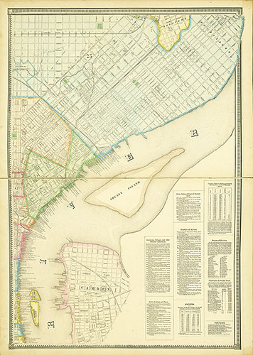
Map of the Whole Incorporated City of Philadelphia, 1867, Plate 4
1867: Barnes, Map of the Whole Incorporated City of Philadelphia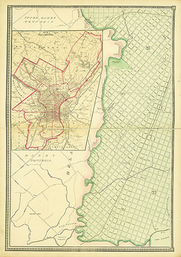
Map of the Whole Incorporated City of Philadelphia, 1867, Plate 3
1867: Barnes, Map of the Whole Incorporated City of Philadelphia
Map of the Whole Incorporated City of Philadelphia, 1867, Plate 2
1867: Barnes, Map of the Whole Incorporated City of Philadelphia