Map Collection
Our map collection enables you to see how Philadelphia's neighborhoods and streets have grown and changed. Use our interactive mapping tool to overlay atlases dating back as far as 1843 over today's street layout.
Showing 1621 to 1640 of 5,193
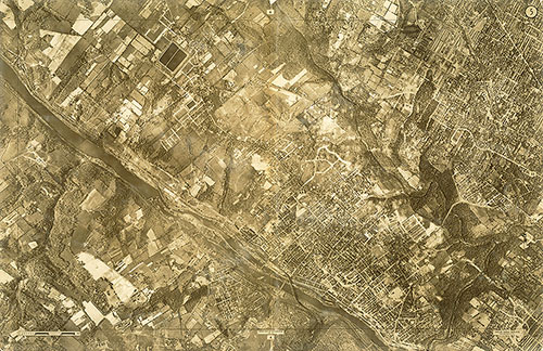
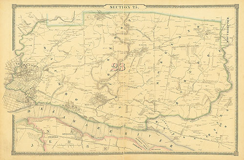
Atlas of the City of Philadelphia, 1862, Section 25
1862: Smedley, Atlas of the City of Philadelphia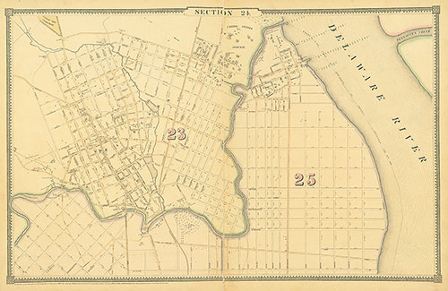
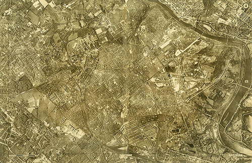
Atlas of the City of Philadelphia, 1862, Section 24
1862: Smedley, Atlas of the City of Philadelphia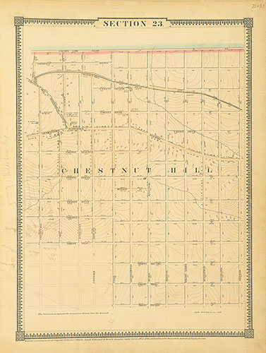
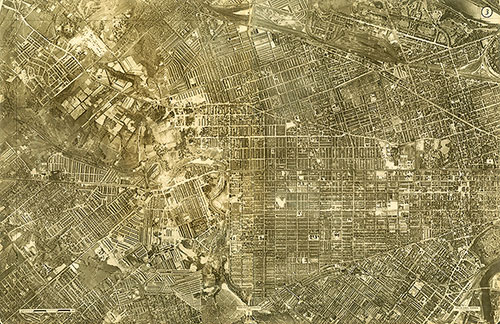
Atlas of the City of Philadelphia, 1862, Section 23
1862: Smedley, Atlas of the City of Philadelphia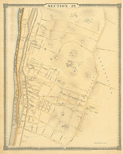
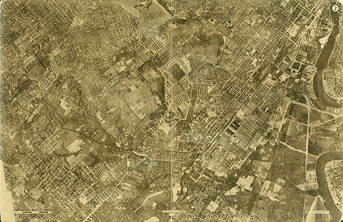
Atlas of the City of Philadelphia, 1862, Section 22
1862: Smedley, Atlas of the City of Philadelphia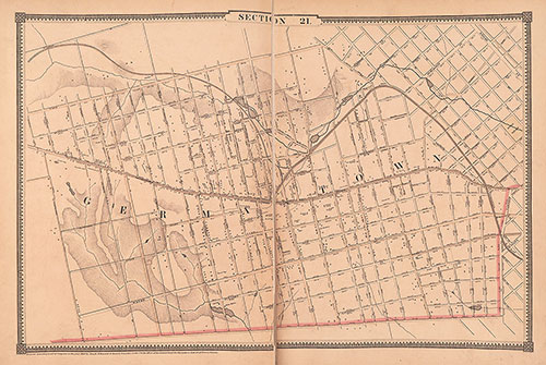
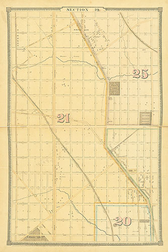
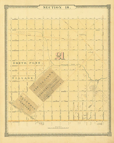
Atlas of the City of Philadelphia, 1862, Section 21
1862: Smedley, Atlas of the City of Philadelphia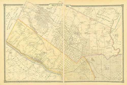
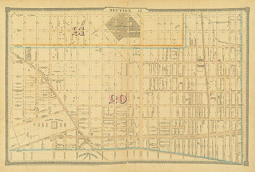
Atlas of the City of Philadelphia, 1862, Section 20
1862: Smedley, Atlas of the City of Philadelphia