Map Collection
Our map collection enables you to see how Philadelphia's neighborhoods and streets have grown and changed. Use our interactive mapping tool to overlay atlases dating back as far as 1843 over today's street layout.
Showing 4101 to 4120 of 5,193
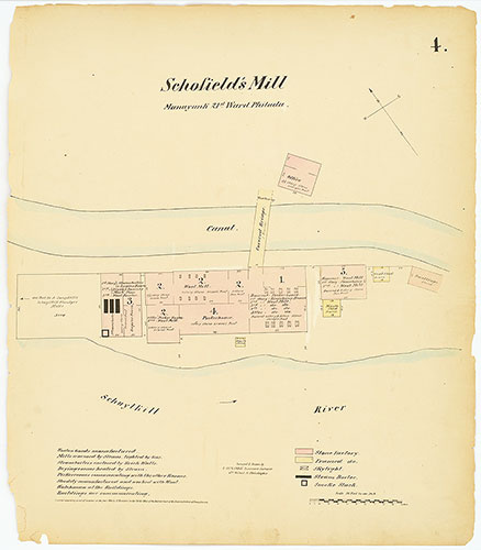
Hexamer General Surveys, Volume 1, Plate 4
1866-1867: Hexamer General Surveys: Volume 1, Plates 1-79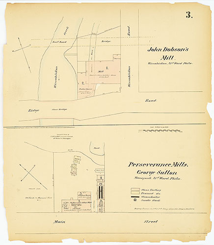
Hexamer General Surveys, Volume 1, Plate 3
1866-1867: Hexamer General Surveys: Volume 1, Plates 1-79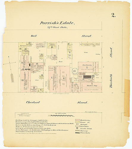
Hexamer General Surveys, Volume 1, Plate 2
1866-1867: Hexamer General Surveys: Volume 1, Plates 1-79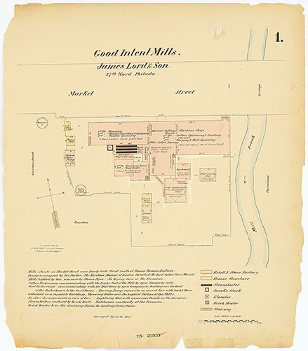
Hexamer General Surveys, Volume 1, Plate 1
1866-1867: Hexamer General Surveys: Volume 1, Plates 1-79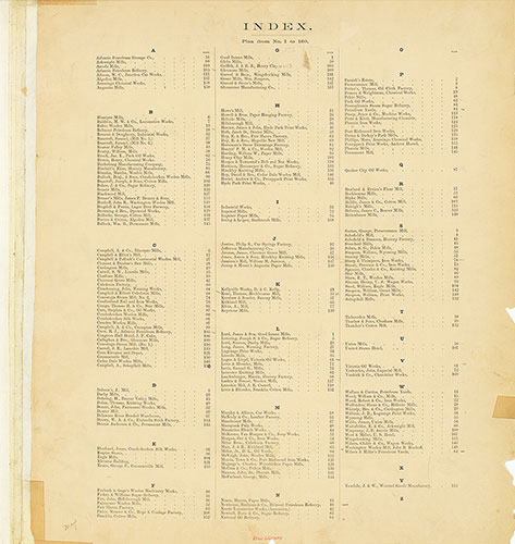
Hexamer General Surveys, Volume 1, Index Plate (1-160) [Vol. 1]
1866-1867: Hexamer General Surveys: Volume 1, Plates 1-79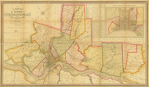
A Map of the County of Philadelphia from Actual Survey, 1843, Map
1843: Ellet, Map of the County of Philadelphia from Actual Survey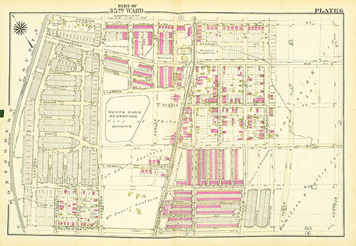
Atlas of the City of Philadelphia, 35th Ward, Plate 6
1927: Bromley, Atlas of the City of Philadelphia, 35th Ward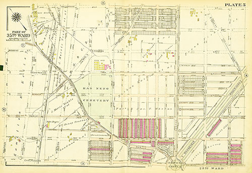
Atlas of the City of Philadelphia, 35th Ward, Plate 5
1927: Bromley, Atlas of the City of Philadelphia, 35th Ward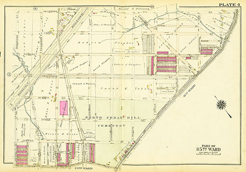
Atlas of the City of Philadelphia, 35th Ward, Plate 4
1927: Bromley, Atlas of the City of Philadelphia, 35th Ward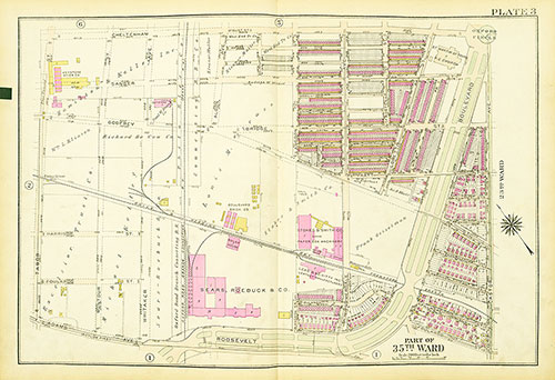
Atlas of the City of Philadelphia, 35th Ward, Plate 3
1927: Bromley, Atlas of the City of Philadelphia, 35th Ward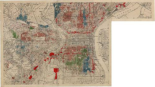
J. M. Brewer's Map of Philadelphia, South Section, 1934, Map
1934: J. M. Brewer, Map of Philadelphia