Atlas of the City of Philadelphia, 23rd & 41st Wards, Plate 22
Maps 1920: Bromley, Atlas of the City of Philadelphia, 23rd & 41st Wards
Item Info
Item No: MBRMAD00026
Title: Atlas of the City of Philadelphia, 23rd & 41st Wards, Plate 22
Additional Title: Atlas of the City of Philadelphia, 23rd & 41st Wards: From actual surveys and official plans
Publication Year:
1920
Page: 26
Work Type: Property Atlases/Maps
Source: Map Collection
Northside Orientation of Image: Top Left
Alternate Page Number: Plate 22
City/Town/Township: Geographic Coverage Ward:41st ward
Geographic Coverage State/Province:Pennsylvania
Geographic Coverage City/Town/Township:Philadelphia
Creator Name: G. W. Bromley & Co. - Publisher
Geo. W. and Walter S. Bromley, Civil Engineers
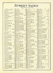 Street Index
  Cover
Cover 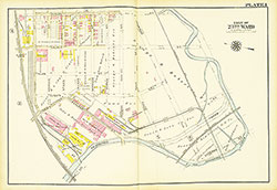 Plate 1
 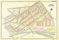 Plate 2
 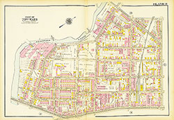 Plate 3
 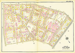 Plate 4
 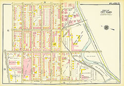 Plate 5
 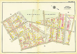 Plate 6
 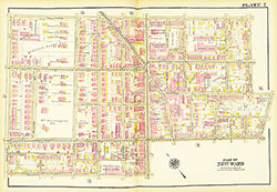 Plate 7
 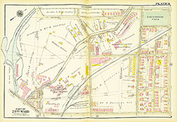 Plate 8
 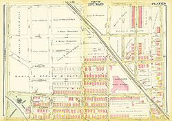 Plate 9
 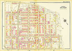 Plate 10
 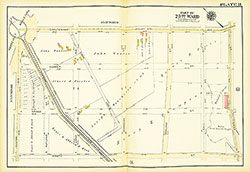 Plate 11
 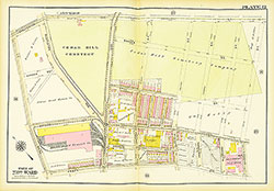 Plate 12
 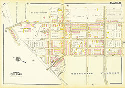 Plate 13
 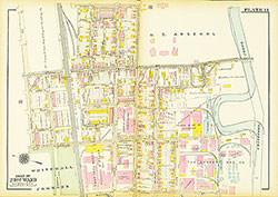 Plate 14
 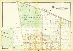 Plate 15
 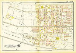 Plate 16
 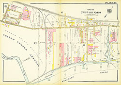 Plate 17
 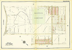 Plate 18
 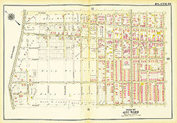 Plate 19
 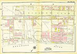 Plate 20
 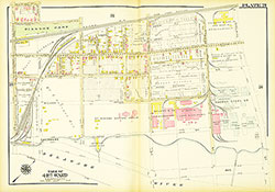 Plate 21
 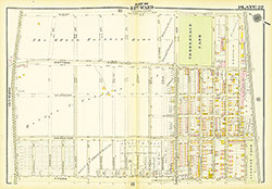 Plate 22
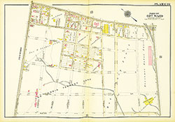 Plate 23
  Plate 24
  Plate 25
  Plate 26
 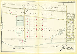 Plate 27
 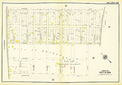 Plate 28
  Plate 29
  Plate 30
 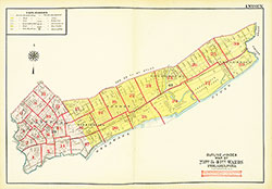 Map Index
 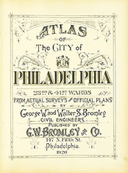 Title Page