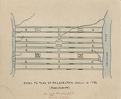
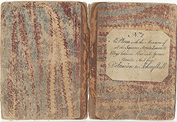
Plan With the Measures of All the Squares, Streets, Lanes and Alleys Between Cedar & Pine Streets and From Delaware to Schuylkill, 1786, Book 1
Maps
Item Info
Item No: MAP00000165
Title: Plan With the Measures of All the Squares, Streets, Lanes and Alleys Between Cedar & Pine Streets and From Delaware to Schuylkill, 1786, Book 1
Additional Title: Plan With the Measures of All the Squares, Streets, Lanes and Alleys Between Cedar & Pine Streets and From Delaware to Schuylkill, 1786
Publication Year:
1786
Page: 1
Work Type: Land Use / Zoning Maps
Source: Map Collection
Notes:
Book 1 of 8 produced (3 and 7 are missing) of manuscript survey plans of Center City By Josiah Matlack and James Pearson, City Surveyors
Northside Orientation of Image: Bottom
Alternate Page Number: Book 1
City/Town/Township: Geographic Coverage State/Province:Pennsylvania
Geographic Coverage City/Town/Township:Philadelphia
Creator Name: [Matlack, Josiah and Pearson, James] - Surveyor
Subjects
 Index
Index 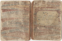 Book 1
 Book 2
 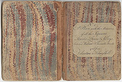 Book 4
 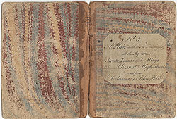 Book 5
 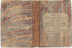 Book 6
 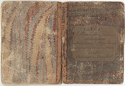 Book 8