Insurance Maps of the City of Philadelphia, 1893-1895, Plate 419
Maps 1893-1895: Hexamer, Insurance Maps of the City of Philadelphia, Volume 20
Item Info
Item No: MHIMAH00011
Title: Insurance Maps of the City of Philadelphia, 1893-1895, Plate 419
Additional Title: Insurance Maps of the City Of Philadelphia, 1893-1895, Volume 20
Page:
11
Work Type: Property Atlases/Maps
Source: Map Collection
Northside Orientation of Image: Right
Alternate Page Number: Plate 419
City/Town/Township: Geographic Coverage City/Town/Township:Philadelphia
Creation Year (Single Year or Range Begin): 1895
Creator Name: Ernest Hexamer & Son - Publisher
Subjects
- Bags
- Barrels
- Philadelphia, Pennsylvania
- Iron industry
- Rope industry
- Petroleum industry
- Coopers
- Foundries
- Slaughterhouses
- Sugar refineries
- rendering
- Wagon sheds
- McCahan Sugar Refinery
- M.H. McCan (slaughterhouse, rendering)
- E.H. Rowley Rosin Oil Works
- Columbia Foundry Co. (iron foundry)
- Kelly & Bro. Whiting Works
- Whiting (chalk)
- Bailey & Co. Corn Exchange, Bag, Rope & Twine Factory
- Twine industry
- Maxwell's Prepared Gypsum Factory
- Gypsum industry
- Machine shops
- Kelly & Co. (barrels)
- Southwark Manufacturing Co.'s Whiting Factory
- W. Lutner (machine shop)
- G. Lutner & Bro. Wagon Works)
- O'Donnel Barrel Factory
- Smith, Charles Enterprise Oil Works
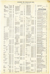 Street & Special Risks Index
 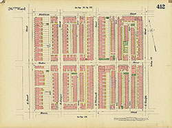 Plate 412
 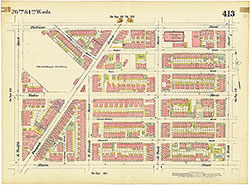 Plate 413
 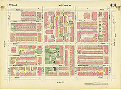 Plate 414
 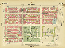 Plate 415
 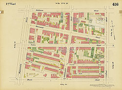 Plate 416
 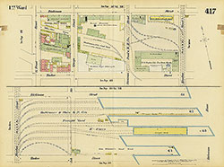 Plate 417
 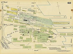 PLate 418
 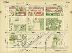 Plate 419
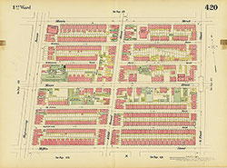 Plate 420
 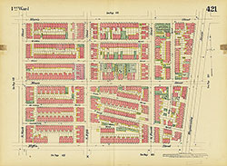 Plate 421
 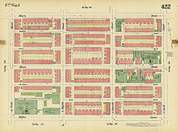 Plate 422
 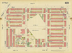 Plate 423
 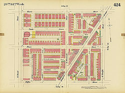 Plate 424
 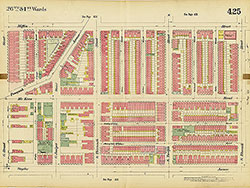 Plate 425
 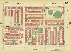 Plate 426
 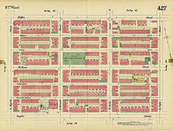 Plate 427
 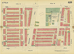 Plate 428
 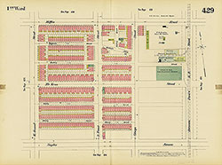 Plate 429
 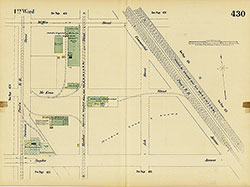 Plate 430
 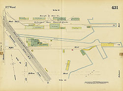 Plate 431
 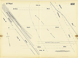 PLate 432
 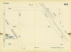 Plate 433
 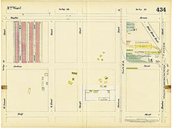 Plate 434
 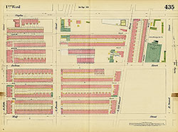 Plate 435
 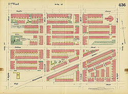 Plate 436
 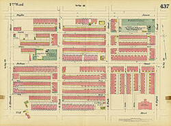 Plate 437
 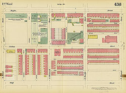 Plate 438
 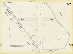 Plate 439
 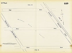 Plate 440
 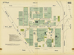 Plate 441
 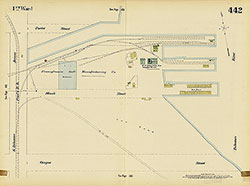 Plate 442
 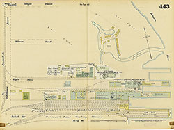 Plate 443
 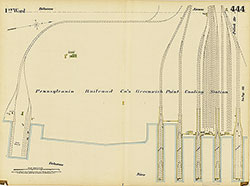 Plate 444
 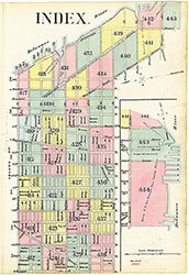 Map Index
 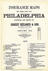 Title Page