Insurance Maps of the City of Philadelphia, 1915-1916, Plate 2 1/2
Maps 1915-1916: Hexamer, Insurance Maps of the City of Philadelphia, Volume 1 Revised
Item Info
Page: 7
Work Type: Property Atlases/Maps
Source: Map Collection
Notes:
American Cereal Co.: 112 South Delaware Avenue
Anthracite Building: 207-209 Walnut Street
Appraisers Building: 134 South 2nd Street
Atlantic Coast Seamens Union: 138 South 2nd Street
Baldwin Building: 102-106 Walnut Street
Blue Ribbon Packing Co.: 142 South Front Street
Bobrow Cigar Factory: 114 South 2nd Street; 125 South 2nd Street
Camden National Bank: southeast corner Walnut and 2nd Streets
Comly, Flanigan Grocery Co.: 118-120 South Delaware Avenue
Corbin Disinfectant Co.: 150 South Water Street
Fowler Net & Twine Co.: 107-109 South 2nd Street
Keystone Telephone Co.: 135 South 2nd Street
Lowry Coffee Co.: 202-204 South Front Street
Neumann, Mayer Cigar Factory: 117-123 South 2nd Street
Philadelphia Cover Co.: 227 Dock Street
Pratt's Food Co.: 126-130 Walnut Street
Reeves, Parvin Grocery Co.: 116 South Delaware Avenue
St. Alban Hotel: 201-205 Walnut Street
Stern Co. Furniture & Carpets: 139-143 South Hancock Street
Webb, Charles Wool Merchants: 116-118 Chestnut Street; corner Walnut St. & Delaware Ave.
Wilsmen's Christmas Tree Ornaments Factory: 212-224 Ionic Street
Northside Orientation of Image: Right
Alternate Page Number: Plate 2 1/2
City/Town/Township: Geographic Coverage State/Province:Pennsylvania
Geographic Coverage City/Town/Township:Philadelphia
Creation Year (Single Year or Range Begin): 1916
Creator Name: Ernest Hexamer & Son - Publisher
- Coffee
- Nets
- Philadelphia, Pennsylvania
- Wool industry
- Hotels
- Banks
- Anthracite Building
- Ornaments
- Cereal products
- Cigar industry
- Seamen
- Twine industry
- St. Alban Hotel
- Pratt's Food Co.
- Food processing plants
- Atlantic Coast Seaman's Union
- Telephone companies
- Philadelphia Cover Co.
- Appraisers Building
- Wilsmen's Christmas Tree Ornaments Factory
- Bobrow Cigar Factory
- Fowler Net & Twine Co.
- Webb, Charles J. Wool Merchants
- Neumann, Mayer Cigar Factory
- Keystone Telephone Co.
- Stern Co. Furniture & Carpets
- Camden National Bank
- Lowry Coffee Co.
- American Cereal Co.
- Corbin Disinfectant Co.
- Disinfectant
- Reeves, Parvin Grocery Co.
- Comly, Flannigan Grocery Co.
- Baldwin Building
- Blue Ribbon Packing Co.
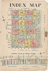 Index Map
 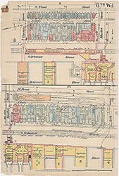 Plate 1
 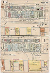 Plate 1 1/2
 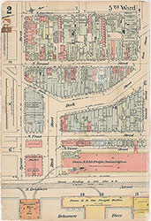 Plate 2
 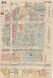 Plate 2 1/2
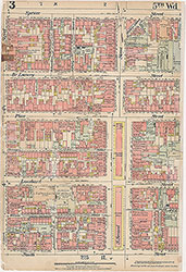 Plate 3
 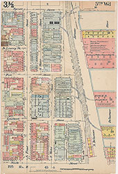 Plate 3 1/2
 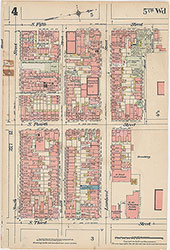 Plate 4
 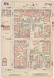 Plate 4 1/2
 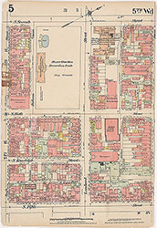 Plate 5
 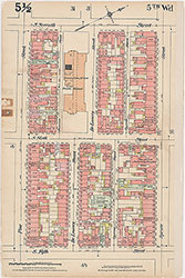 Plate 5 1/2
 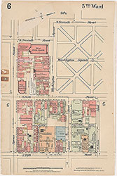 Plate 6
 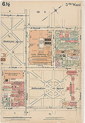 Plate 6 1/2
  Plate 7
 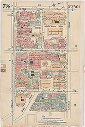 Plate 7 1/2
 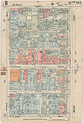 Plate 8
 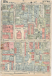 Plate 8 1/2
 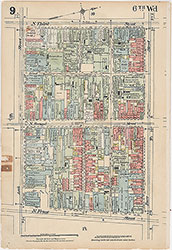 Plate 9
 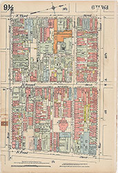 Plate 9 1/2
 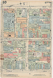 Plate 10
 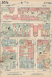 Plate 10 1/2
 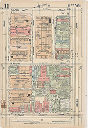 Plate 11
 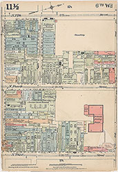 Plate 11 1/2
 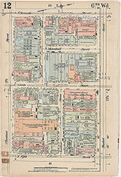 Plate 12
 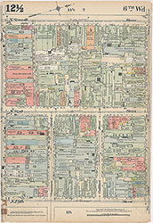 Plate 12 1/2
 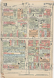 Plate 13
 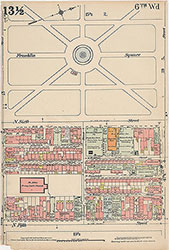 Plate 13 1/2
 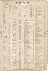 Street Index
 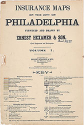 Title Page