Atlas of the City of Philadelphia, 1862, Section 7
Maps 1862: Smedley, Atlas of the City of Philadelphia
Item Info
Item No: MSMDAA00012
Title: Atlas of the City of Philadelphia, 1862, Section 7
Additional Title: Atlas of the City of Philadelphia, 1862
Publication Year:
1862
Page: 12
Work Type: Property Atlases/Maps
Source: Map Collection
Notes:
Blockely Almshouse: Philadelphia & Darby Plank Road east of Woodland Cemetery
Commissioner Hall: southeast corner 37th & Market Streets
Darby Railway Station: Philadelphia & Darby Plank Road at Market Street
Mayland Mill Dam: 44th Street & Kingsessing Avenue
Star Hotel: Baltimore Turnpike & Philadelphia & Darby Plank Road
Northside Orientation of Image: Top
Alternate Page Number: Section 7
City/Town/Township: Geographic Coverage State/Province:Pennsylvania
Geographic Coverage City/Town/Township:Philadelphia
Creator Name: J. B. Lippincott & Co. (1862) - Publisher
Samuel L. Smedley
Subjects
- Philadelphia, Pennsylvania
- Railroad stations
- Street railroads
- Hotels
- Commissioner Hall
- Orphanages
- Dams
- Hospitals (charitable institution buildings)
- Almshouses (buildings)
- Horse railroads
- Mental institutions
- Star Hotel
- Mayland Mill Dam
- Blockely Almshouse
- Poorhouse see Almshouses (buildings)
- Darby Passenger Railway
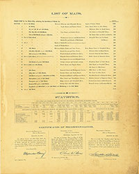 List of Maps
 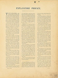 Preface
  Title Page 1
 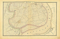 Section 1
 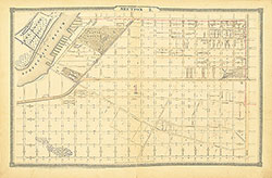 Section 2
 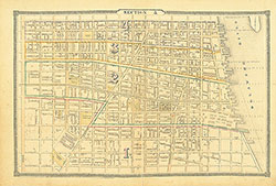 Section 3
 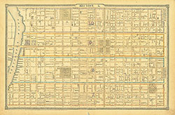 Section 4
 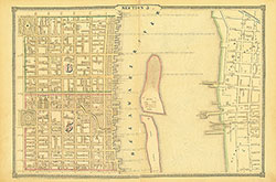 Section 5
 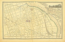 Section 6
 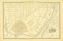 Section 7
 Section 8
 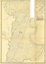 Section 9
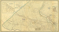
 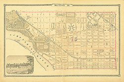 Section 10
 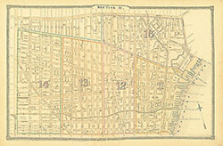 Section 11
 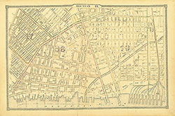 Section 12
 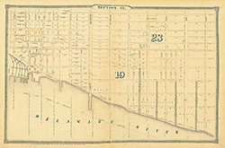 Section 13
 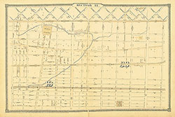 Section 14
 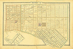 Section 15
 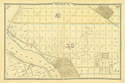 Section 16
 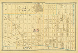 Section 17
 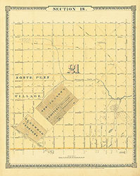 Section 18
 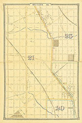 Section 19
 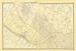 Section 20
 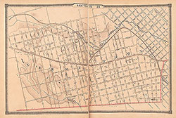 Section 21
 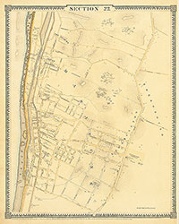 Section 22
 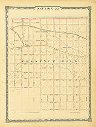 Section 23
 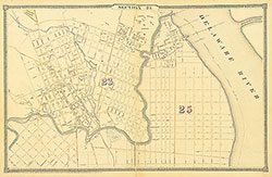 Section 24
 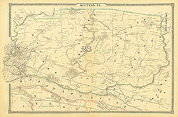 Section 25
 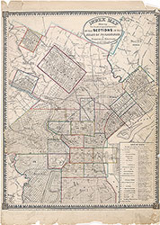 Map Index
 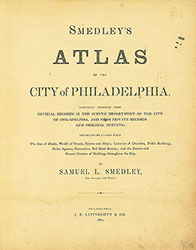 Title Page 2